
EXPLORE BY INTEREST
Hiking
Walking trails, mountain paths and multi-day treks through the landscapes of the atlas.
Explore by country
Where to do it
 44 destinations
United States
Seattle · Bainbridge, Whidbey & the Central Sound Islands · The San Juan Islands +41 more
 29 destinations
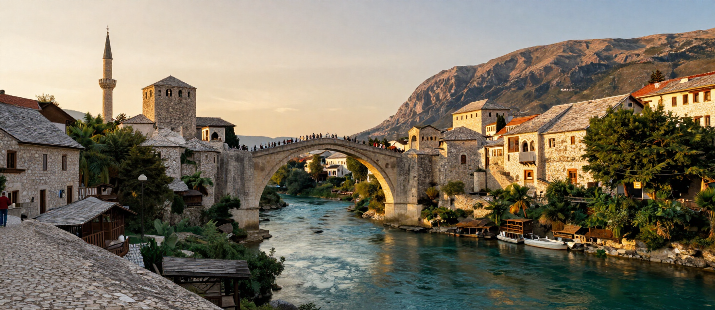
Bosnia & Herzegovina
Mostar · Una National Park · Sutjeska National Park +26 more
 19 destinations
Croatia
Plitvice Lakes · Motovun · Pazin +16 more
 19 destinations
Italy
Courmayeur · Cervinia · Lake Maggiore / Stresa +16 more
 13 destinations
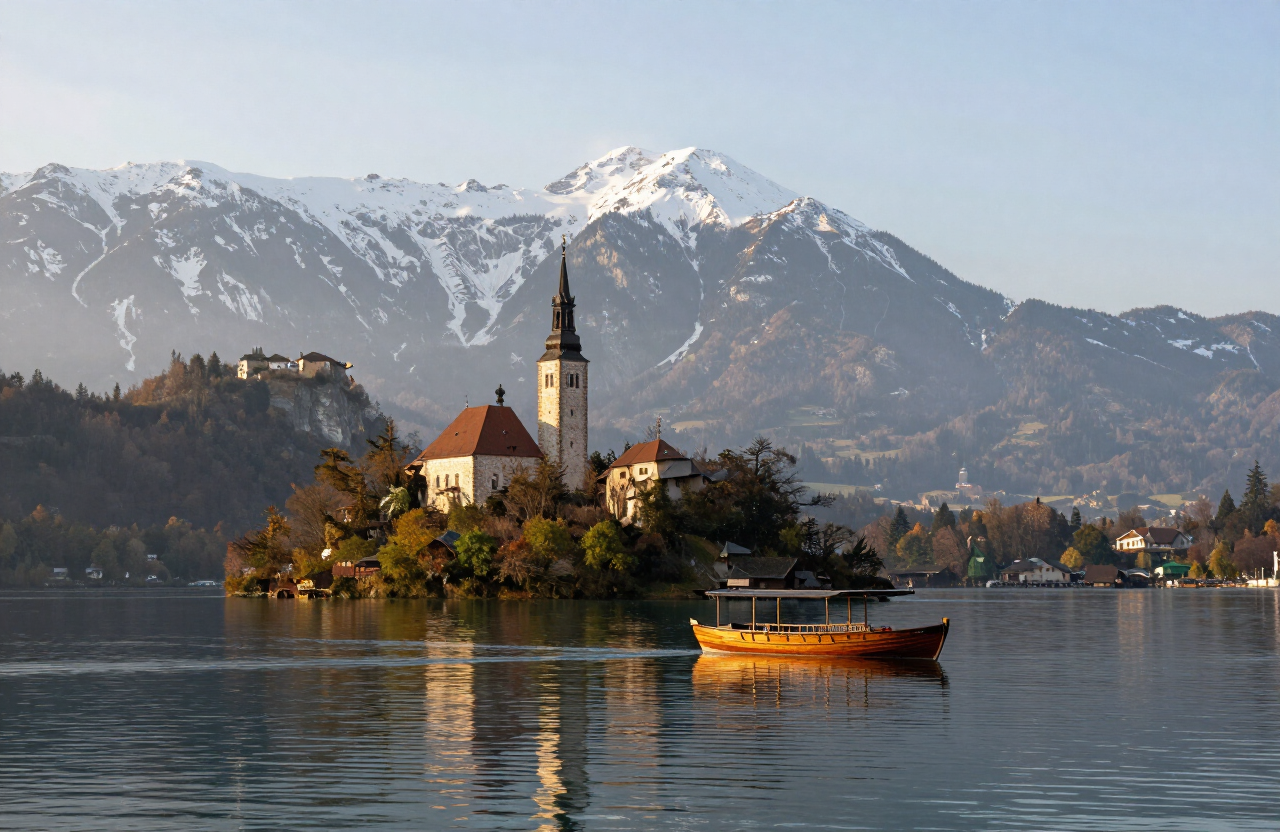
Slovenia
Bled · Bohinj · Kranjska Gora +10 more
 10 destinations
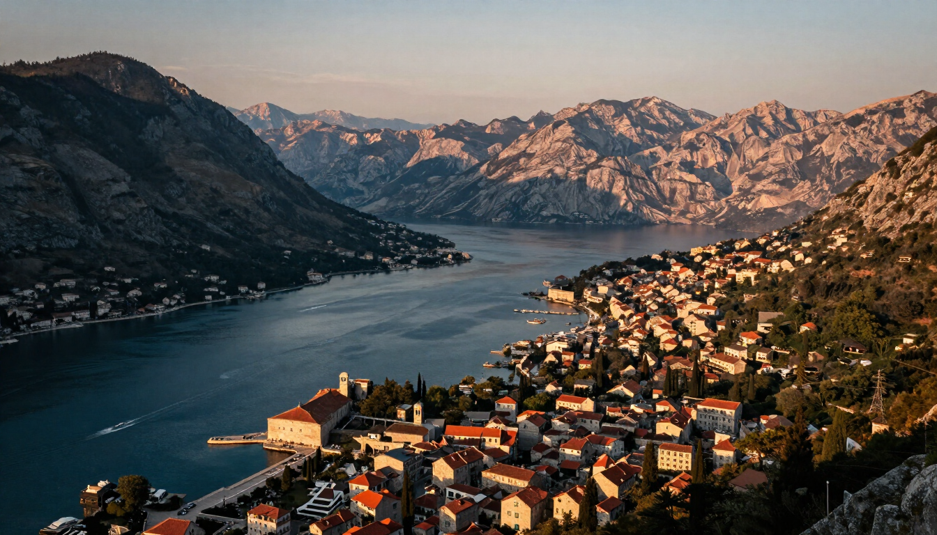
Montenegro
Kotor · Tivat & Luštica Peninsula · Sveti Stefan & Paštrovići +7 more
 6 destinations
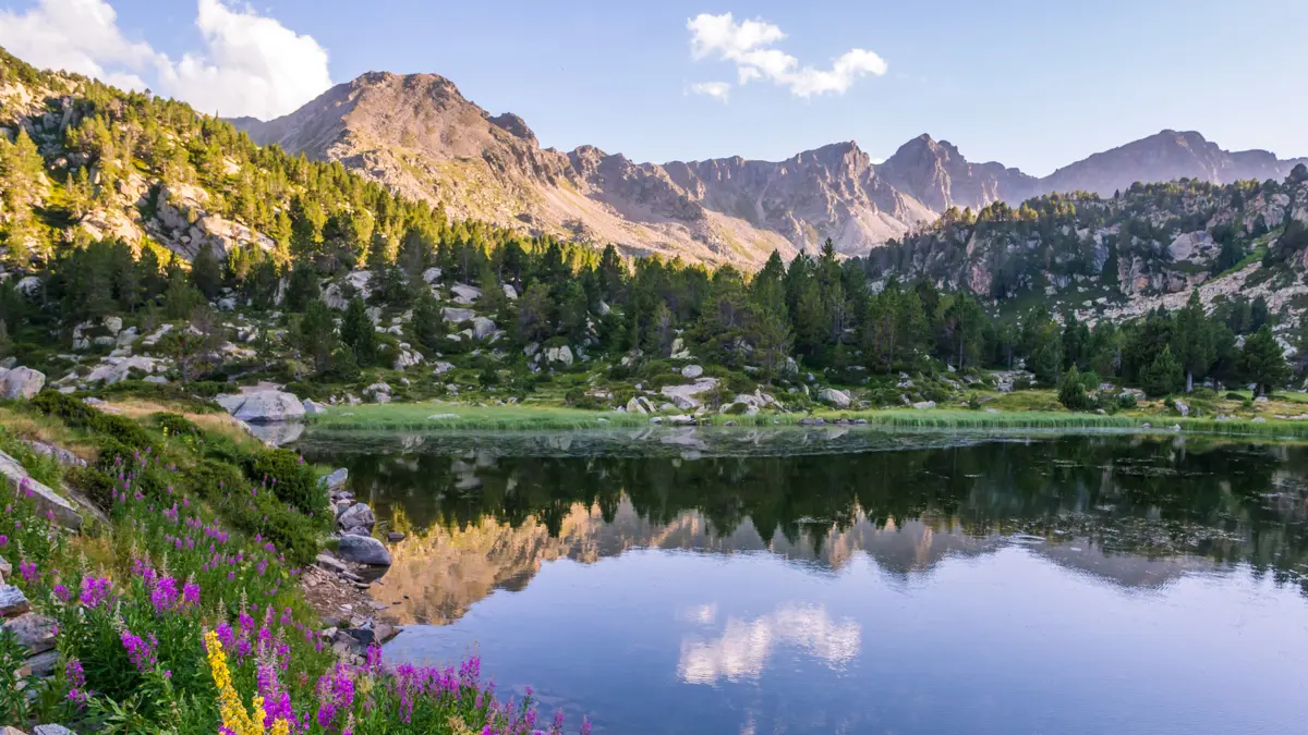
Andorra
Andorra la Vella & Escaldes-Engordany · Encamp & Engolasters · Canillo & Grandvalira +3 more
 5 destinations
Luxembourg
Vianden · Echternach & Mullerthal · Valley of the Seven Castles +2 more
 5 destinations
San Marino
City of San Marino · Borgo Maggiore · Domagnano & Faetano +2 more
 4 destinations
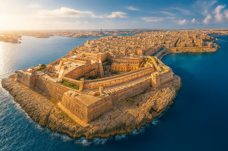
Malta
Mellieħa & Northern Malta · Blue Grotto & Dingli Cliffs · Dwejra & Western Gozo +1 more
 3 destinations
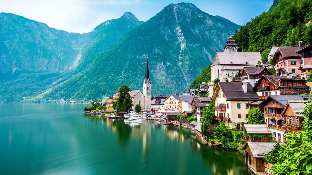
Austria
Hallstatt–Dachstein · Innsbruck · Lake Neusiedl
 3 destinations
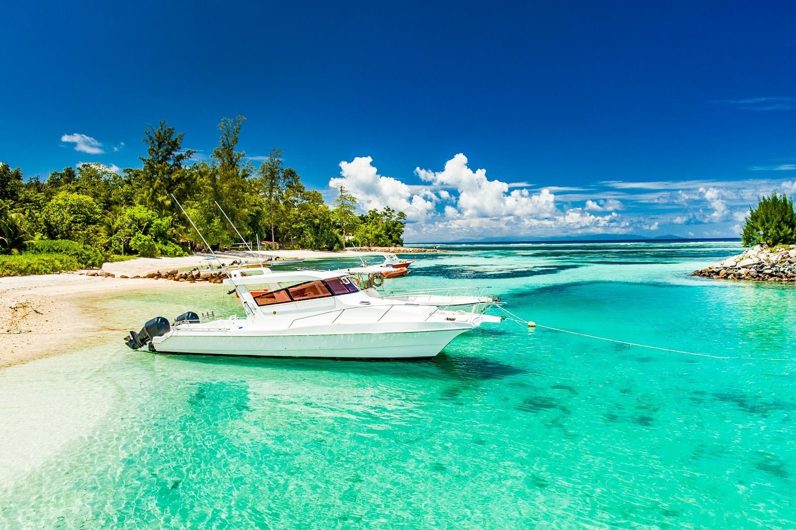
Seychelles
Victoria & North Mahé · Praslin & Curieuse · La Digue & Inner Islands
 1 destination
Monaco
Monaco-Ville
 1 destination
Serbia
Zlatibor
 1 destination
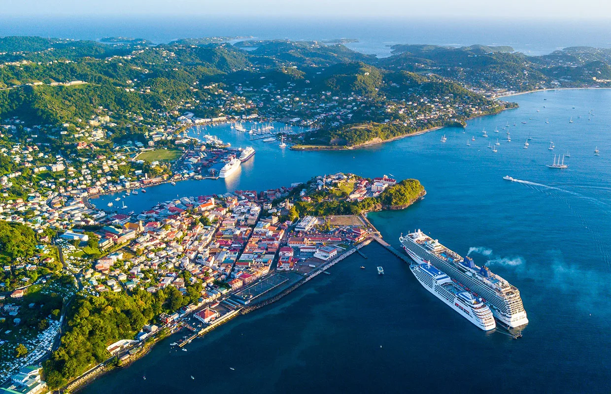
Grenada
Grand Étang & Central Highlands
 1 destination
Maldives
Addu City
Bosnia & Herzegovina field guide
Plan a hiking day in Bosnia & Herzegovina
The Dinaric Alps run the length of Bosnia & Herzegovina, folding limestone peaks, karst plateaus and primeval forest into a compact country you can cross in a day. Trails range from gentle forest paths to the summit of Maglić (2,386 m), the highest point in the land. The Via Dinarica long-distance route threads the main ranges, and most trailheads sit within a two-hour drive of Sarajevo or Banja Luka.
FEATURED AREAS
Bjelašnica
Olympic mountain south of Sarajevo — high karst plateaus, the stone village of Lukomir and the Umoljani–Lukomir loop above the Rakitnica canyon.
Vlašić
Central Bosnia’s great meadow mountain — Paljenik peak, summer katuni pastures and the Galica–Devečani–Paljenik loop above Travnik.
Kozara National Park
Forested ridges in the northwest — gentle marked trails, the Mrakovica monument and the Mrakovica–Žečji Kamen loop through beech and streams.
Sutjeska National Park
The country’s oldest wilderness park — Maglić summit, the Perućica primeval forest and the Donje Bare lakes beneath Zelengora.
WHEN TO GO
- June to October for the high mountains — snow lingers on the plateaus into early summer.
- April to October for lower forest trails such as Kozara and the foothills.
- Start early in summer to be off the exposed ridges before afternoon storms.
WHAT TO CARRY
- Sturdy broken-in boots with ankle support — limestone karst is rough underfoot.
- Layers and a windproof shell — weather on the plateaus changes fast.
- At least 2 litres of water and food — few huts are staffed outside peak season.
- A map or GPS track — mobile signal is patchy above the treeline.
PLAN THE ROUTE
- Check the Via Dinarica route notes for current trail conditions and markings.
- Park at the marked trailheads and sign the visitors’ book where parks require it.
- Allow more time than the distance suggests — ascents are steep and the going is slow.
- Combine a summit day with a lower valley walk for a balanced two-day trip.
SAFETY
- Stay on marked trails — some areas were mined during the 1990s war and not all ground has been cleared. Check BHMAC guidance and never enter uncleared or unmarked ground.
- Treat the Via Dinarica safety advice as required reading before any high-route hike.
- Descend at the first sign of thunder — the ridges and plateaus are fully exposed.
- Carry a basic first-aid kit and tell someone your route and expected return.
SOURCESVia Dinarica safety guidance · BHMAC — Bosnia and Herzegovina Mine Action Centre · Destination360 hiking route field guide (PDF) (checked 2026-09-23)
Destinations
Places for this interest


Experiences
Things to do
Mostar Austro-Hungarian Architecture Walk
An independent urban walk through the Austro-Hungarian layer of Mostar beyond the Ottoman old town, anchored at Spanish Square and the Mostar Gymnasium. A flexible route through public streets and squares — the civic streets, the Rondo area and the Habsburg urban layer — before transitioning toward the historic centre.
Mostar
Explore the Una’s waterfalls and river landscapes
A self-guided park circuit linking the Una’s waterfalls, boardwalks and swimming pools — Štrbački Buk, the Martin Brod falls and the calmer upper river — the way to see the park on foot and at your own pace.
Una National Park
Explore Perućica with an authorised guide
A guided visit into the strictly protected Perućica primeval forest — the responsible way to experience Sutjeska’s old-growth reserve, arranged through the park authorities and shaped by the park’s access rules.
Sutjeska National Park
Hike through the mountains and landscapes of Sutjeska
A walking journey across the wider mountain landscape of Sutjeska — the canyon, the high peaks, the Zelengora plateau and its lakes — the experience that ties the park’s separate sights into one wilderness.
Sutjeska National Park
Walk through the Dugo Polje cultural landscape
A gentle cultural-landscape visit through the Dugo Polje necropolis and its pasture — a quiet walk among the stećci, not a measured or mapped hiking route.
Blidinje Nature Park
Plan a guided mountain day on Čvrsnica or Vran
A separately planned, guided high-mountain day on the Čvrsnica or Vran massif — qualified local guidance, current weather, seasonal snow, suitable equipment and a route matched to ability.
Blidinje Nature Park
Walking the Boardwalk Trails
Walk the marked boardwalk routes (A–H) over the lakes and between the waterfalls — the signature Plitvice experience, from a two-hour loop to a full-day circuit.
Plitvice Lakes
Walk Into the Pazin Abyss
The path from the castle down into the gorge and up to the great cave mouth where the Pazinčica disappears — Jules Verne’s escape route on foot.
Pazin
Hike the forest trails between Mali and Veli Lošinj
Lošinj
Hike the northern Velebit trails above the town
Gospić
Fish or walk the Gacka river valley
Gospić
Use Gospić as a base between Plitvice and the coast
Gospić
Take a boat tour of Kopacki Rit for birds and deer
Baranja
Tour the wine-cellars (suri) on the Bansko Brdo hills
Baranja
Eat fish paprika stew (fiš paprikaš) at a wetland restaurant
Baranja
Hike the Biokovo trails above the coast
Makarska
Routes
Routes & rides
Umoljani–Lukomir Loop
A circular mountain day on Bjelašnica from Umoljani over the Obalj high ground to the highland village of Lukomir, returning above the Rakitnica canyon toward Studeni Potok.
15.1 km · 5.2 h · moderate
VIEW ROUTEPlitvice Program A — Lower Lakes Loop
The shortest Plitvice program — a loop of the Lower Lakes canyon and the Great Waterfall from Entrance 1.
3.5 km · 2 h · easy
VIEW ROUTEPlitvice Program B — Lower Lakes & Kozjak
The Lower Lakes canyon plus the electric-boat crossing of Kozjak, with the panoramic train back — a half-day from Entrance 1.
3.5 km · 3 h · easy
VIEW ROUTEPlitvice Program C — The Full Circuit
The classic full-day Plitvice circuit — all sixteen lakes, the Upper and Lower Lakes, the Kozjak boat and the train return.
8 km · 5 h · moderate
VIEW ROUTEPlitvice Program H — Upper Lakes
A walk through the twelve forested Upper Lakes — the longer, quieter, more expansive half of Plitvice, from Entrance 2.
8 km · 4 h · moderate
VIEW ROUTETrebević Summit from Pogledine
An out-and-back ascent from Pogledine past Trebević’s Olympic bobsleigh track and forest paths to the Sofe summit area above Sarajevo.
15.8 km · 5.8 h · moderate
VIEW ROUTESkakavac Waterfall Loop
A forest loop from the Skakavac protected-area entrance to the viewpoint and foot of Sarajevo’s 98-metre waterfall.
9.2 km · 3.9 h · moderate
VIEW ROUTEBogodol–Velika Vlajna Summit Route
A demanding out-and-back ascent from Bogodol to Velika Vlajna, the high point of the bare Čabulja massif northwest of Mostar.
12.1 km · 4.8 h · challenging
VIEW ROUTEGalica–Devečani–Paljenik Loop
A moderate high-pasture loop on the Vlašić massif from the Galica area over the Devečani ground to the Paljenik (Opaljenik) peak area and back, with long views across central Bosnia.
7.5 km · 2.6 h · moderate
VIEW ROUTEMrakovica–Žečji Kamen Loop
A moderate forest and ridge loop in Kozara National Park from Mrakovica past the Kozara memorial to the Žečji Kamen high ground and back, combining history, forest paths and ridge views.
7.82 km · 2.6 h · moderate
VIEW ROUTEDonje Bare and Maglić View Loop
A challenging highland loop in Sutjeska National Park from the Donje Bare area on Zelengora toward a viewpoint over Maglić, the highest peak in Bosnia & Herzegovina, and back.
12.5 km · 5.6 h · challenging
VIEW ROUTEHajdučke vode–Velika Runjavica Loop
A compact forest hiking loop from the Hajdučke vode recreation area to Velika Runjavica, the highest summit of Borja mountain, and back.
5.7 km · easy
VIEW ROUTELake Bled Lakeside Loop
The complete roughly 6 km circuit of Lake Bled on foot — continuous lakeside views of the island, the castle cliff and the Julian Alps.
6 km · easy
VIEW ROUTELake Bohinj Circuit
The official Triglav National Park walking circuit of Lake Bohinj — just over 11 km of lakeshore, forest and road sections beneath the Julian Alps.
11 km · moderate
VIEW ROUTESoča Trail — Source to Bovec
The official Triglav National Park Soča Trail — roughly 25 km from the Soča source beneath the Julian Alps down the valley toward Bovec.
25 km · moderate
VIEW ROUTEThree Castles Path
A heritage-focused forest walk above Škofja Loka that connects the landscape of Loka Castle with the ruins and historical traces of the Three Castles Path.
moderate
VIEW ROUTEFridrihštajn Castle Trail
A forest climb through the hills above Kočevje toward the ruins of Fridrihštajn Castle, connecting the route with the historical story of the castle landscape.
4.3 km · 1.75 h · moderate
VIEW ROUTEKrokar Primeval Forest Edge Trail
A short marked forest route that introduces visitors to the protected Krokar landscape from its permitted edge — an observation and interpretation experience, not access into the core forest.
2 km · moderate
VIEW ROUTEDurmitor Ring and Piva Canyon — Žabljak to Plužine
A one-way scenic mountain traverse from Žabljak across the Jezerska plateau, Sedlo pass and Trsa to the Piva canyon and Plužine — the high-country half of the Durmitor Ring rather than the complete circuit.
1 days · challenging
VIEW ROUTENorthern Montenegro Grand Tour — Kolašin, Tara, Durmitor and Piva
A three-day editorial touring sequence across Northern Montenegro — from Kolašin and Biogradska Gora to the Tara canyon and Đurđevića Tara Bridge, on to Žabljak and Durmitor, and finally over the Sedlo pass and Trsa to the Piva canyon and Plužine.
3 days · challenging
VIEW ROUTEEastern Highlands Road — Kolašin to Plav and Gusinje
A two-day editorial touring sequence across Montenegro’s eastern highlands — from Kolašin and Biogradska Gora’s primeval forest, via the Andrijevica corridor, to Plav Lake, the multi-community town of Gusinje, the Ali Pasha Springs and the Grebaje Valley beneath the Karanfili peaks.
2 days · challenging
VIEW ROUTEBobotov Kuk from Sedlo — Durmitor Summit Route
A serious circular summit day on the Durmitor massif from the Sedlo pass, via Zeleni Vir, to Bobotov Kuk (2,523 m) and back — alpine terrain, scrambling, exposure and fixed cables for properly equipped and experienced hikers.
9.5 km · 7 h · challenging
VIEW ROUTEGrebaje Three Peaks Loop — Popadija, Talijanka and Volušnica
A demanding circular mountain day in the Grebaje Valley of Prokletije National Park, linking Popadija, Talijanka and Volušnica on a steep forest ascent, high pasture and exposed border ridge — roughly 1,000 m of ascent for properly equipped hikers.
10 km · 7 h · challenging
VIEW ROUTEDurmitor Ring Cycling Circuit — Žabljak, Trsa and Sušica
A challenging full-day road-cycling circuit of the Durmitor ring road from Žabljak, over Mala Crna Gora and Nedajno to Trsa, and back through Pišče and the Sušica valley — active mountain roads, long climbs and descents for experienced, self-sufficient cyclists.
76 km · challenging
VIEW ROUTESteamboat Rock Summit Trail
The Grand Coulee’s essential climb: a steep but short trail up the 250-metre basalt butte for the coulee’s finest panorama over Banks Lake.
5 km · 2.5 h · moderate
VIEW ROUTEDiscovery Park Loop and the Bluffs
Seattle\u2019s biggest wild space in one loop: sea cliffs, meadow, forest and the West Point Lighthouse on a quiet 2.8-mile stretch of Puget Sound shore.
4.5 km · 2 h · easy
VIEW ROUTEEbey’s Landing Bluff Trail
Whidbey Island’s classic coastal walk: a bluff-top path above driftwood beaches, farms and the sea—with the ferry from Port Townsend crossing below.
6 km · 2 h · easy
VIEW ROUTELime Kiln Whale-Watching Shore Walk
The best shore-based whale watching in the world: walk the west-side trails of Lime Kiln Point as orca pods pass through Haro Strait, metres from the rocks.
2.5 km · 1.5 h · easy
VIEW ROUTEHurricane Hill via the Ridge Trail
The Olympic Peninsula’s signature walk: a paved family trail to a 1,700-metre summit with the Strait of Juan de Fuca, Victoria BC and Rainier in one sweep.
5.2 km · 2 h · moderate
VIEW ROUTEHoh River Trail to Mineral Creek Falls
Walk into the greenest forest in America: moss-draped giants along the glacier-fed Hoh, first waterfalls, elk herds and the roar of the rain.
17 km · 4.5 h · moderate
VIEW ROUTERialto Beach to Hole-in-the-Wall
Four kilometres of wild driftwood shore to a natural sea arch — tide pools, eagles and the sea stacks of the wilderness coast at the tide’s edge.
8 km · 2.5 h · easy
VIEW ROUTECape Flattery Trail
A short boardwalk through old-growth to the northwesternmost point of the contiguous United States — sea stacks, whales and the endless Pacific.
2.4 km · 1 h · easy
VIEW ROUTEShi Shi Beach and Point of the Arches
The wildest beach walk in Washington: two miles of sand to a coastline stacked with sea arches — tide pools, eagles and nobody else.
16 km · 4.5 h · moderate
VIEW ROUTEDungeness Spit Out-and-Back
Walk the longest natural sand spit in the United States — nine kilometres of drifting dune out to a working lighthouse, harbor seals to one side, the Strait to the other.
18 km · 5 h · moderate
VIEW ROUTEFort Worden Bluffs and Point Wilson Loop
A coastal loop through a century-old army fort: gun batteries in the woods, a lighthouse on the point, and the strait traffic of Puget Sound at your feet.
6 km · 2 h · easy
VIEW ROUTEBlue Lake Trail
The North Cascades’ classic family hike: 7 kilometres through old burn and meadow to an impossibly blue cirque lake under Liberty Bell.
7.2 km · 2.5 h · moderate
VIEW ROUTERainbow Falls & the Stehekin Valley Road Loop
Stehekin’s classic day: walk the valley road past the old school and Buckner Orchard to the 97-metre Rainbow Falls — no cars, no noise, just the river.
16 km · 4.5 h · easy
VIEW ROUTEHeliotrope Ridge to the Coleman Glacier Viewpoint
Climb through forest and heather to the foot of Mount Baker’s glaciers — crevasses, icefalls and (in autumn) the huckleberry bear country of the Nooksack.
9.5 km · 4.5 h · hard
VIEW ROUTEPicture Lake and the Artist Point Ridge Walk
From Washington’s most-photographed lake to the sky-high payoff of the highway: the ridge walk at Artist Point between Baker and Shuksan.
4 km · 1.5 h · easy
VIEW ROUTEThe Skyline Trail Loop from Paradise
The most famous hike in Washington: a full loop through Paradise’s flower meadows to glacial overlooks directly under Mount Rainier’s summit ice.
8.5 km · 3.5 h · moderate
VIEW ROUTESourdough Ridge and the Frozen Lake Overlook
The Sunrise side’s classic: a high, open ridge walk with Rainier filling one horizon and the Emmons Glacier — the biggest in the Cascades — below.
6.5 km · 2.5 h · moderate
VIEW ROUTERampart Ridge Loop
Climb the cliff of a 660-year-old lava flow above Longmire — switchbacks through old growth to a ridge with Rainier’s south face and quiet lake tarns.
7.5 km · 3 h · moderate
VIEW ROUTEThe Carbon River Rainforest Walk
Washington’s inland temperate rainforest: a flat riverside walk under colossal cedars to the Carbon Glacier’s moraine — the mountain’s wildest, wettest corner.
12 km · 3.5 h · easy
VIEW ROUTEHarry’s Ridge from Johnston Ridge
Walk into the heart of the blast zone: a ridge of grey recovery above Spirit Lake with the volcano’s raw crater directly ahead.
13 km · 3.5 h · moderate
VIEW ROUTEApe Cave and the Lava Canyon Day
The south side’s double act: crawl through one of the world’s longest lava tubes, then walk the dramatic ladder-and-bridge gorge of Lava Canyon.
6.2 km · 3 h · moderate
VIEW ROUTEBird Creek Meadows: the Hellroaring Overlook Loop
Waterfall country on Mount Adams’ quiet side: a meadow-and-creek loop through the Yakama Nation’s garden of cascades under the volcano’s southeast face.
7 km · 2.5 h · moderate
VIEW ROUTETakhlakh Lake and the Midway High Lakes
From a mirror lake at the volcano’s foot to the high-country tarns of the Midway chain — the quietest great view of Mount Adams in Washington.
10 km · 3.5 h · moderate
VIEW ROUTEBeacon Rock and the Hamilton Mountain Loop
Climb an 800-foot volcanic plug on a cliff-edge staircase, then loop the ridge for Gorge panoramas and waterfall stops above the Columbia.
12 km · 3.5 h · moderate
VIEW ROUTECowiche Canyon and the Uplands
Walk the old rail corridor through a basalt canyon of wildflowers and raptors, then climb the Uplands for sage-steppe views over the wine valley.
10 km · 3 h · easy
VIEW ROUTEThe Enchantments Core Zone: Snow Lakes Traverse
Washington’s most coveted hike: a hard, long day through larch and granite to the Enchantment Lakes basin — goats, tarns and the state’s best alpine.
30 km · 11 h · hard
VIEW ROUTESteptoe Butte Sunrise to the Scenic Hills Loop
Climb the last of the prehistoric islands rising from the loess sea, then loop the farm roads beneath it as the Palouse’s rolling hills turn gold.
5 km · 2 h · moderate
VIEW ROUTEPalouse Falls: the Canyon Rim Walk
Washington’s official waterfall: a rim-edge walk above a 60-metre plunge into an Ice Age flood canyon in the middle of the channeled scablands.
4 km · 1.5 h · easy
VIEW ROUTESawtooth Lake via Alpine Lake
The Sawtooths’ signature climb: a steady forest grind to a granite cirque lake under ten-thousand-foot walls.
13.2 km · 5.5 h · hard
VIEW ROUTETitus Lake from Galena Summit
A short, steady climb from the summit pullout to a quiet alpine lake under the Boulder Mountains — the perfect half-day off Highway 75.
4.8 km · 2 h · moderate
VIEW ROUTESalmon River Trail: Mosquito Slide & the Canyon Rim
The River of No Return’s only rim trail: a contour walk above the deepest canyon in the West, bighorn country and river bends below.
16 km · 6 h · hard
VIEW ROUTEMineral Ridge Loop from Beauty Bay
The region’s classic viewpoint walk: a 3.3-mile interpretive loop above Wolf Lodge Bay with the whole lake spread below.
5.3 km · 2.5 h · moderate
VIEW ROUTESchweitzer Summit Trails from the Village
A high walking day above Sandpoint: village-to-summit paths at Idaho’s biggest ski area, with the whole lake 2,000 feet below.
8 km · 3 h · moderate
VIEW ROUTEThe Seven Devils Rim Drive
Gravel mountain tracks from the prairie to the rim above Hells Canyon — the Seven Devils skyline a vertical mile over the river.
70 km · 3 h · moderate
VIEW ROUTECanyon Rim Trail: Perrine Bridge to Shoshone Falls
Ten rim-edge miles past hidden waterfalls and canyon overlooks — the town’s great walk, best at golden hour.
16 km · 5 h · moderate
VIEW ROUTEBroken Top Loop & the Spatter Cones
The monument’s classic loop: a perfect spatter cone, a bomb field, and a half-collapsed crater through wildflower country.
3 km · 1.5 h · easy
VIEW ROUTEGraham Peak Summit Trail
Six miles and 2,000 feet to the reserve’s high point — the whole stone city and the Raft River valley below.
10 km · 5 h · challenging
VIEW ROUTETwo Top Rim Trail
Seven miles on the caldera’s rim to 8,600 feet — three states, the Tetons and Yellowstone’s frontier from one summit.
11 km · 4.5 h · moderate
VIEW ROUTEDarby Canyon Wind Caves Trail
Five miles to a giant limestone alcove with ceiling waterfalls — Teton Valley’s classic half-day.
8 km · 3.5 h · moderate
VIEW ROUTENorth Menan Butte Rim Loop
Four miles around the world’s largest tuff cone — the whole upper plain from one volcanic rim.
6.5 km · 2.5 h · moderate
VIEW ROUTEThe Warren Wagon Road & Secesh run
North along Payette Lake into roadless country: the Secesh bridge, Loon Lake trailhead and the mining camp of Warren.
80 km · 2.5 h · moderate
VIEW ROUTEAttractions
Sights worth the detour
Kriva Ćuprija
A smaller, older Ottoman stone bridge spanning the Radobolja creek a few minutes’ walk north of Stari Most. Built before its famous neighbour, it is often read as its prototype — a single humpbacked arch that survived the war intact and now sits quietly among the old houses.
Mostar
Kulen Vakuf
A small riverside town in the upper park where the Una runs clear and green between forested banks, with a historic Ottoman bridge and the trailhead for the climb up to Ostrovica Fortress.
Una National Park
Ostrovica Fortress
A medieval fortress ruin on a steep hill above Kulen Vakuf, reached by a forest trail, with the finest panorama over the upper Una valley in the park.
Una National Park
Maglić Mountain
The highest mountain in Bosnia and Herzegovina, rising to 2,386 metres on the border with Montenegro above the Perućica forest — the roof of the country and the park’s dominant peak.
Sutjeska National Park
Zelengora & Mountain Lakes
The rolling mountain plateau west of the Sutjeska canyon, scattered with glacial lakes known as the “mountain eyes” of Zelengora — the gentler, open high country of the park.
Sutjeska National Park
Kozjak Lake
The largest and deepest of the Plitvice lakes, crossed by a silent electric-boat service that links the Upper and Lower sections of the park.
Plitvice Lakes
Main Square & St Stephen Bell Tower
The medieval summit square — Romanesque-Gothic bell tower, city loggia and cafés — where the whole village gathers.
Motovun
The Parenzana Cycling Trail
The gravel bed of a 1902 narrow-gauge railway, reborn as one of Europe’s most scenic cycling routes — passing directly below Motovun.
Motovun
Pazin Gorge & the Pazin Abyss
The deep green canyon below the castle, where the Pazinčica vanishes into the Pazin Abyss — with hiking paths, a zipline and, in spring, a wild cave entry.
Pazin
Gacka River
A clear, spring-fed limestone river famous for fly-fishing and its steady, gentle flow through the Lika valley.
Gospić
Velebit Nature Park
The northern slopes of the Velebit mountains above Gospić, with hiking trails, karst peaks and views to the sea.
Gospić
Kopacki Rit Nature Park
A vast floodplain wetland at the confluence of the Drava and the Danube, one of the most important bird reserves in Europe, explored by boat and trail.
Baranja
Bansko Brdo Wine Hills
A low ridge of vineyards and wine-cellars above the village of Suza and Beli Manastir, the wine heart of Baranja.
Baranja
Biokovo Nature Park & Skywalk
The sheer Biokovo mountain above the town, a nature park with hiking trails and a glass Skywalk viewpoint over the coast.
Makarska
Zlatni Rat (Golden Horn)
A famous horn-shaped pebble beach at Bol that shifts with the wind and currents, the most photographed beach in Croatia.
Brač
Vidova Gora
At 778 m the highest peak of any Adriatic island, with a view down to the Golden Horn and across to Hvar.
Brač
On the atlas
Hiking
STORIES
From the magazine
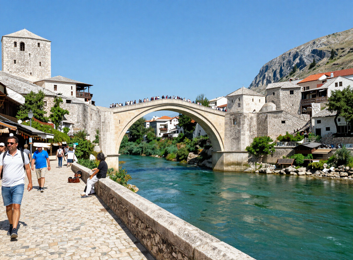
A Road Trip Through Herzegovina — Mostar, Blagaj, Počitelj and Stolac
Read story
Following the Una — From Bihać to Bosanska Krupa
Read story
Trebinje and Southern Herzegovina — Stone, Wine and Karst
Read story
Banja Luka and the Vrbas Canyon — A City Shaped by Water
Read story
Kozara National Park — Forest, Memory and Trails
Read story
Teslić — Between Banja Vrućica and Borja Mountain
Read storyTRAVEL GUIDES
Plan with a guide
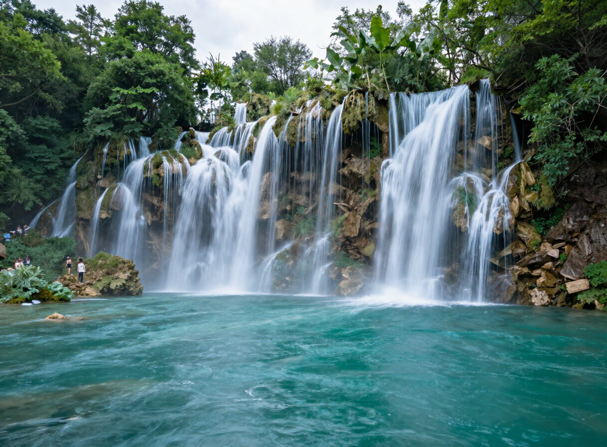
Why You Should Visit Una National Park
View guide
The Medieval Towns of Bosnia and Herzegovina
View guide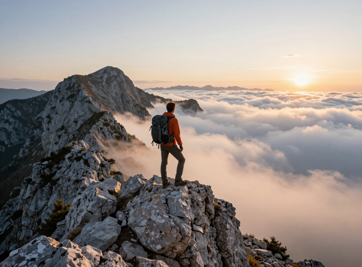
Maglić — The Summit of Bosnia and Herzegovina
View guide
Konjic and the Upper Neretva — Bridges, Bunkers and Wild Water
View guide
Livno, Cincar and the Wild Horses — A Responsible Highland Guide
View guide
Foča, Sutjeska and the Tara — An Outdoor Planning Guide
View guideExplore by interest
Every place in the atlas is tagged by what you can do there. Pick an interest and the destinations, experiences, routes and sights connected to it come into view — one reusable view, no matter the interest.