
EXPLORE BY INTEREST
Photography
Photo spots, golden-hour viewpoints and the visual discovery of the atlas.
Explore by country
Where to do it
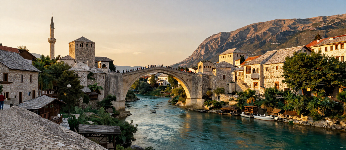 40 destinations
Bosnia & Herzegovina
Mostar · Sarajevo · Jajce +37 more
 40 destinations
United States
Seattle · Bainbridge, Whidbey & the Central Sound Islands · The San Juan Islands +37 more
 24 destinations
Croatia
Plitvice Lakes · Pula · Rovinj +21 more
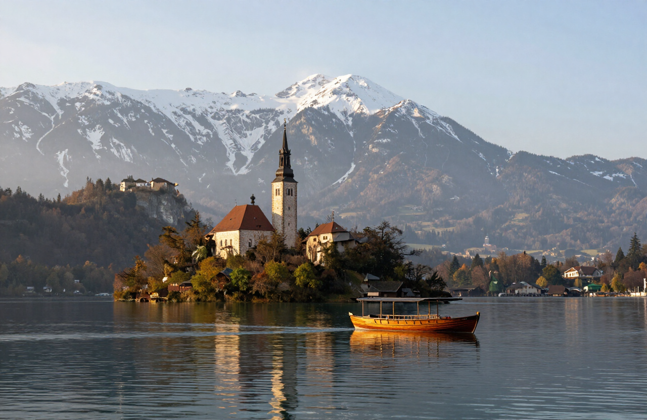 19 destinations
Slovenia
Bled · Bohinj · Kranjska Gora +16 more
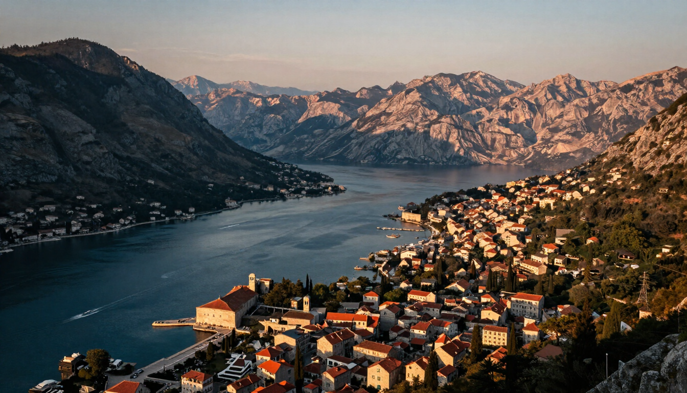 16 destinations
Montenegro
Kotor · Perast · Herceg Novi +13 more
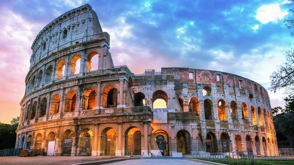 12 destinations
Italy
Lake Como · Verona · Trieste +9 more
 6 destinations
Luxembourg
Luxembourg City · Vianden · Echternach & Mullerthal +3 more
 5 destinations
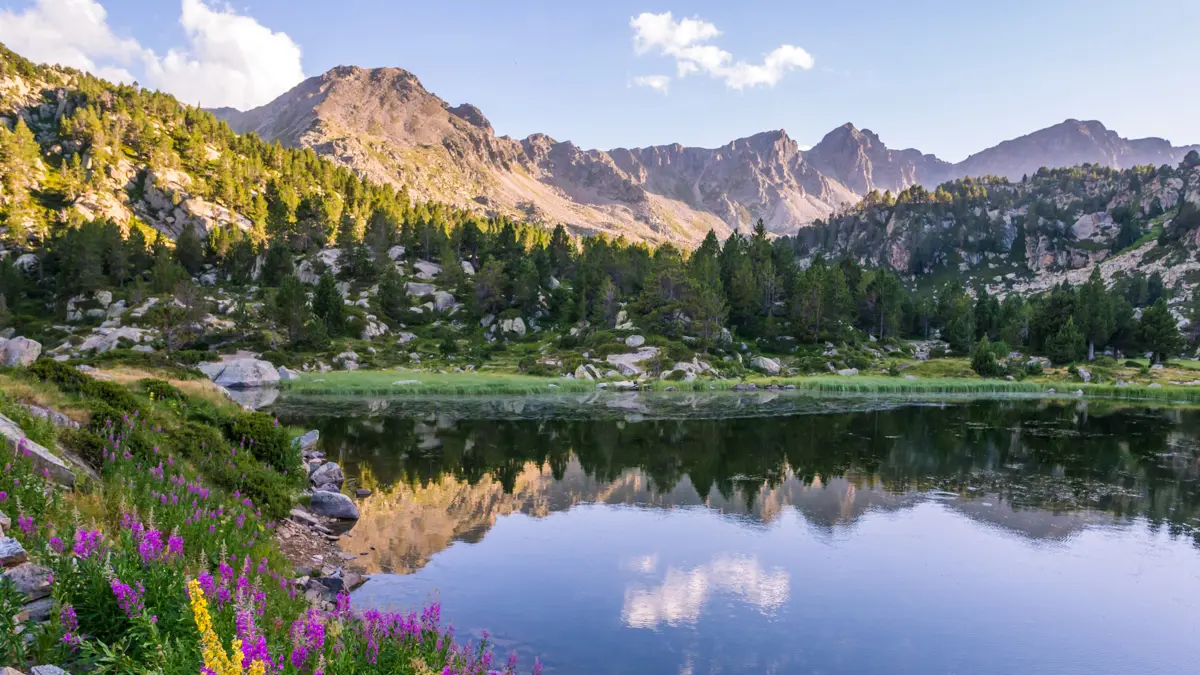
Andorra
Andorra la Vella & Escaldes-Engordany · Encamp & Engolasters · Canillo & Grandvalira +2 more
 5 destinations
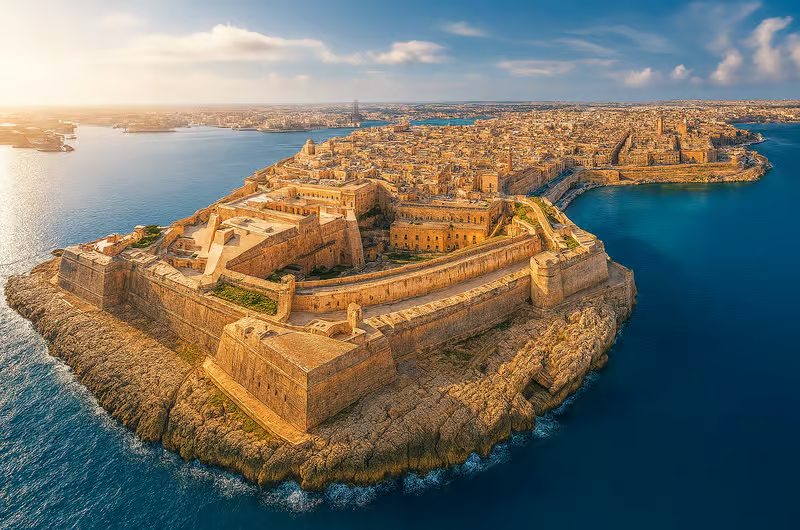
Malta
Valletta · Three Cities · Sliema & St Julian’s +2 more
 5 destinations
San Marino
City of San Marino · Borgo Maggiore · Serravalle & Dogana +2 more
 4 destinations
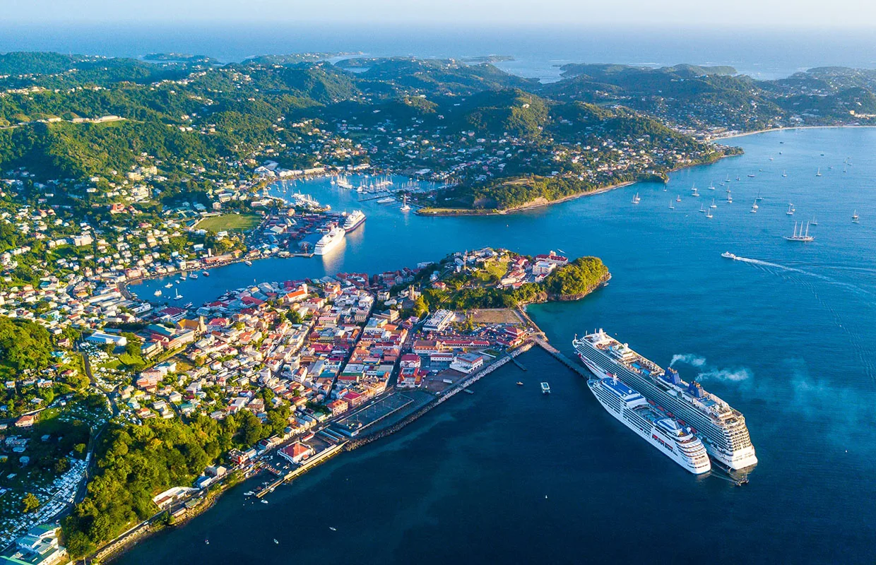
Grenada
St. George’s & Grand Anse · Grand Étang & Central Highlands · Sauteurs & Levera +1 more
 4 destinations
Maldives
Maafushi · Dharavandhoo · Gan +1 more
 3 destinations
Monaco
Monaco-Ville · Monte Carlo & Larvotto · La Condamine & Fontvieille
 3 destinations
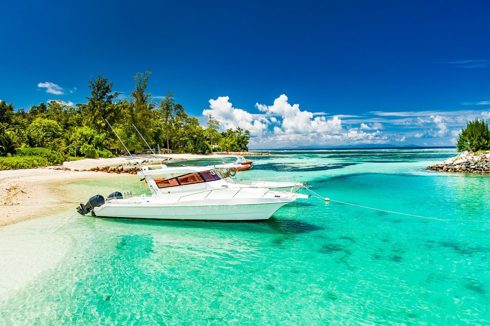
Seychelles
Victoria & North Mahé · South Mahé · La Digue & Inner Islands
Destinations
Places for this interest


Experiences
Things to do
Catch sunset over the bridge from Lučki most
A short walk downstream from Stari Most, the low Lučki most footbridge opens a quieter, head-on view of the Old Bridge and the Neretva — a calm place to watch the light change over the river as the day ends.
Mostar
Fortica Panorama and Skywalk Visit
A flexible visit to the Fortica viewpoint and glass skywalk above Mostar, giving a broad panorama over the city, the Neretva valley and the surrounding mountains. The viewpoint visit is separate from the zipline, climbing, via ferrata and other paid adventure activities that may operate on the hillside, whose availability, access and suitability must be confirmed locally.
Mostar
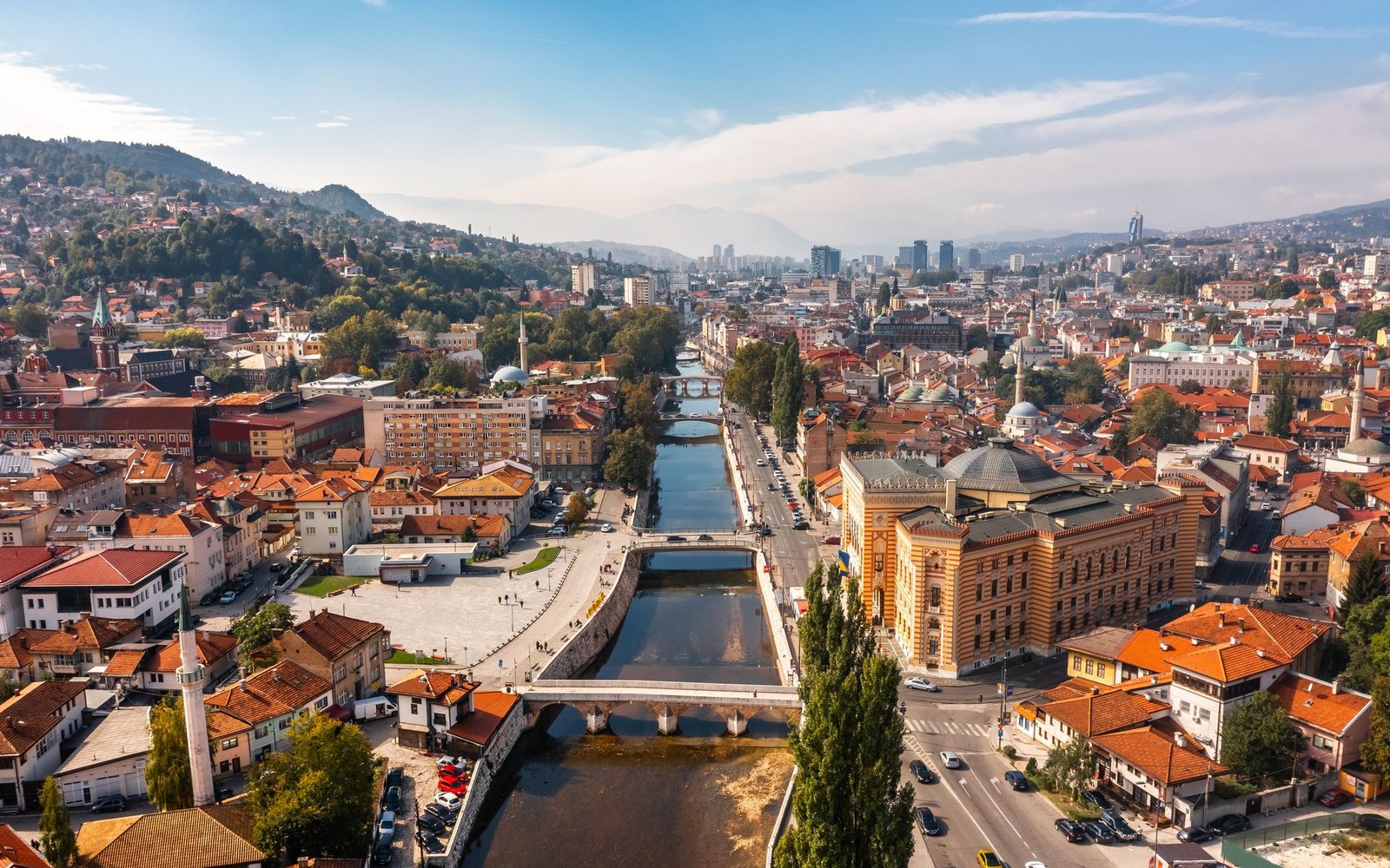
Walk the Miljacka embankments at dusk
The Miljacka river runs through the heart of Sarajevo, and its embankments are the city’s natural evening walk — bridges, minarets and Habsburg façades reflected in the water as the light drops.
Sarajevo
Explore Jajce’s historic center, fortress and waterfall
A walking loop through the heart of Jajce — the fortress on the hill, the old town spilling down to the gorge, and the Pliva waterfall at the bottom — is the one experience every visitor should do.
Jajce
Discover Trebinje museum and literary heritage
A focused experience of Trebinje’s museum and literary heritage — the Museum of Herzegovina founded from Jovan Dučić’s idea and collection, and the poet’s grave and legacy at the hilltop Hercegovačka Gračanica — read together as the town’s intellectual and literary thread.
Trebinje
Photograph Trebinje from river to hillside
A photography experience that follows Trebinje from the Trebišnjica and Kastel to the moved Arslanagić Bridge, the red-roofed town and the Crkvina viewpoint above — a sequence of river, stone, rooftops and hillside rather than a fixed route.
Trebinje
Duži Monastery and Trebinje Countryside Visit
A respectful visit to Duži Monastery, an active Serbian Orthodox community in the Trebinjska Šuma roughly twelve kilometres south of Trebinje, read together with the quiet rural landscape around it — a short countryside trip out of the town rather than a guaranteed-access attraction.
Trebinje
Explore Perućica with an authorised guide
A guided visit into the strictly protected Perućica primeval forest — the responsible way to experience Sutjeska’s old-growth reserve, arranged through the park authorities and shaped by the park’s access rules.
Sutjeska National Park
Photograph Blidinje Lake and Dugo Polje
A respectful landscape and heritage photography experience across the lake and the Dugo Polje necropolis — changing light, mountain horizons and distance kept from fragile features.
Blidinje Nature Park
Photograph the wetland landscape responsibly
A respectful wetland photography experience — changing light, reflective water, reeds and distant wildlife, with distance kept and no disturbance, baiting, playback calls, drones or restricted-habitat entry.
Hutovo Blato Nature Park
Explore the Roman Old Town
Walk the Arena, the forum, the Temple of Augustus and the Roman gates in a single circuit through the old town.
Pula
Ascend St Euphemia’s Campanile
Ascend the 60-metre campanile for the classic panorama over the pastel rooftops, the harbours and the sea.
Rovinj
Climb the Basilica Bell Tower
Ninety steps up the 18th-century campanile for the classic panorama: the red rooftops of the Roman grid, the harbour, and the sea to the horizon.
Poreč
Boat Trip to Sveti Nikola Island
The fifteen-minute passenger boat from the harbour to Poreč’s swimming island — pebble beaches, fortress ruins and the town panorama on the way back.
Poreč
Walk the Walls at Sunset
The wall circuit in the last hour of light, when the Mirna valley turns gold and the day-trippers are gone.
Motovun
Ride the Pazin Zipline
The zipline flight across the Pazin gorge — the abyss opening beneath you mid-crossing, the castle receding behind.
Pazin
Routes
Routes & rides
Mostar to Sarajevo via the Neretva Canyon
A classic Balkan ride north up the Neretva canyon — river, cliffs and forest from Mostar to Sarajevo.
130 km · 3 h · moderate
VIEW ROUTEUmoljani–Lukomir Loop
A circular mountain day on Bjelašnica from Umoljani over the Obalj high ground to the highland village of Lukomir, returning above the Rakitnica canyon toward Studeni Potok.
15.1 km · 5.2 h · moderate
VIEW ROUTEPlitvice Program A — Lower Lakes Loop
The shortest Plitvice program — a loop of the Lower Lakes canyon and the Great Waterfall from Entrance 1.
3.5 km · 2 h · easy
VIEW ROUTEPlitvice Program B — Lower Lakes & Kozjak
The Lower Lakes canyon plus the electric-boat crossing of Kozjak, with the panoramic train back — a half-day from Entrance 1.
3.5 km · 3 h · easy
VIEW ROUTEPlitvice Program C — The Full Circuit
The classic full-day Plitvice circuit — all sixteen lakes, the Upper and Lower Lakes, the Kozjak boat and the train return.
8 km · 5 h · moderate
VIEW ROUTEPlitvice Program H — Upper Lakes
A walk through the twelve forested Upper Lakes — the longer, quieter, more expansive half of Plitvice, from Entrance 2.
8 km · 4 h · moderate
VIEW ROUTEUna Canyon Scenic Road — Bihać to Bosanska Otoka
A scenic run down the M14 along the Una canyon from Bihać, via Ostrožac Castle and Bosanska Krupa, to the river-island village of Bosanska Otoka.
55 km · easy
VIEW ROUTEBosna Valley Ride — Doboj to Zavidovići via Maglaj
A touring ride down the Bosna valley through three Northern Bosnia river towns — Doboj, Maglaj and Zavidovići — with the R465 as the direct river-valley link between Maglaj and Zavidovići.
VIEW ROUTETrebević Summit from Pogledine
An out-and-back ascent from Pogledine past Trebević’s Olympic bobsleigh track and forest paths to the Sofe summit area above Sarajevo.
15.8 km · 5.8 h · moderate
VIEW ROUTESkakavac Waterfall Loop
A forest loop from the Skakavac protected-area entrance to the viewpoint and foot of Sarajevo’s 98-metre waterfall.
9.2 km · 3.9 h · moderate
VIEW ROUTEBogodol–Velika Vlajna Summit Route
A demanding out-and-back ascent from Bogodol to Velika Vlajna, the high point of the bare Čabulja massif northwest of Mostar.
12.1 km · 4.8 h · challenging
VIEW ROUTEČukovi–Štrbački Buk MTB Trail
A short mountain-bike trail from the Čukovi entrance across the Kliševića plateau towards the Štrbački Buk visitor area, combining forest terrain, cultural interpretation and a rough final descent.
5 km · 1.25 h · easy
VIEW ROUTEŠvrakava–Vrbas–Banjica MTB Traverse
A demanding full-day mountain-bike traverse linking the Švrakava and Vrbas canyons with Krupa na Vrbasu, Manjača, Stričići and the rural endpoint at Banjica.
64.4 km · 9.53 h · challenging
VIEW ROUTEŠtrbački Buk–Loskun Una Rafting Section
A guided white-water descent below Štrbački Buk through one of the most powerful and technically demanding rafting sections of the Una.
7 km · 2.5 h · challenging
VIEW ROUTEGlavatičevo–Džajići Neretva Rafting Route
The classic guided Neretva canyon descent from the Glavatičevo area towards Džajići, with emerald water, limestone walls and mostly moderate white water.
23 km · 5 h · moderate
VIEW ROUTEBrštanovica–Šćepan Polje Tara Rafting Route
A guided descent through the final and most concentrated white-water section of the Tara Canyon, from Brštanovica towards Šćepan Polje.
18 km · 2.5 h · challenging
VIEW ROUTEPliva Lakes Calm-Water Paddling
Calm-water kayaking and canoeing on Veliko Plivsko jezero, the broad turquoise lake upstream of Jajce — a gentle, weather-dependent paddle among watermills and reed beds.
easy
VIEW ROUTEBoračko Lake Calm-Water Paddling
Calm-water paddling on the glacial Boračko lake in the forest above Konjic — a quiet, weather-dependent alpine-lake kayak or canoe outing at the foot of Prenj.
easy
VIEW ROUTEKostela–Bosanska Krupa Una Kayak Descent
A guided kayak descent of the Una from the Kostela area towards Bosanska Krupa — an operator-led river run of roughly 20 km with sections commonly described as Class II–III.
20 km · 4 h · moderate
VIEW ROUTEGalica–Devečani–Paljenik Loop
A moderate high-pasture loop on the Vlašić massif from the Galica area over the Devečani ground to the Paljenik (Opaljenik) peak area and back, with long views across central Bosnia.
7.5 km · 2.6 h · moderate
VIEW ROUTEMrakovica–Žečji Kamen Loop
A moderate forest and ridge loop in Kozara National Park from Mrakovica past the Kozara memorial to the Žečji Kamen high ground and back, combining history, forest paths and ridge views.
7.82 km · 2.6 h · moderate
VIEW ROUTEDonje Bare and Maglić View Loop
A challenging highland loop in Sutjeska National Park from the Donje Bare area on Zelengora toward a viewpoint over Maglić, the highest peak in Bosnia & Herzegovina, and back.
12.5 km · 5.6 h · challenging
VIEW ROUTETravnik–Vlašić–Paljenik MTB Loop
A challenging mountain-bike loop from Travnik up onto the Vlašić massif toward the Paljenik (Opaljenik) peak area, combining valley climbs, high pasture and long descents back to town.
50.2 km · challenging
VIEW ROUTEKozara Yellow MTB Loop — Gola Planina & Duge Njive
A challenging mountain-bike loop in Kozara National Park on the marked Yellow Trail, crossing the Gola Planina ridge and the Duge Njive ground above Mrakovica.
19 km · challenging
VIEW ROUTETjentište–Donje Bare MTB Out-and-Back
A challenging mountain-bike out-and-back in Sutjeska National Park from the Tjentište valley up onto the Zelengora highland to the Donje Bare lake area and back.
46.8 km · challenging
VIEW ROUTEVrbas Canyon Guided Rafting Route
An operator-led white-water experience in the Vrbas canyon south of Banja Luka, with the exact river section selected for current flow and participant ability.
challenging
VIEW ROUTEHajdučke vode–Velika Runjavica Loop
A compact forest hiking loop from the Hajdučke vode recreation area to Velika Runjavica, the highest summit of Borja mountain, and back.
5.7 km · easy
VIEW ROUTELake Bled Lakeside Loop
The complete roughly 6 km circuit of Lake Bled on foot — continuous lakeside views of the island, the castle cliff and the Julian Alps.
6 km · easy
VIEW ROUTELake Bohinj Circuit
The official Triglav National Park walking circuit of Lake Bohinj — just over 11 km of lakeshore, forest and road sections beneath the Julian Alps.
11 km · moderate
VIEW ROUTEUpper Sava Valley D-2 Cycling Trail
The official D-2 cycle route of the Upper Sava Valley — roughly 28 km from Jesenice to Rateče via Mojstrana and Kranjska Gora, largely on a former railway alignment.
28 km · easy
VIEW ROUTESoča Trail — Source to Bovec
The official Triglav National Park Soča Trail — roughly 25 km from the Soča source beneath the Julian Alps down the valley toward Bovec.
25 km · moderate
VIEW ROUTEVršič Pass — Kranjska Gora to Trenta
The Russian Road over the Vršič pass — fifty numbered serpentines from Kranjska Gora across the highest road pass in Slovenia and down into the Trenta valley.
moderate
VIEW ROUTEKranj–Brdo–Preddvor Cycling Loop
An official 18 km cycling loop from central Kranj along the Kokra river, past Brdo and on toward Preddvor — a moderate mixed-surface ride on the alpine foothills.
18 km · 1.5 h · moderate
VIEW ROUTERadovljica–Bled–Žirovnica–Begunje Cycling Loop
A combined cycling day around Radovljica following the official suggested sequence — Bled, Zasip, Breg, Žirovnica, Begunje na Gorenjskem and Mošnje — on quiet roads, dirt tracks and village lanes.
moderate
VIEW ROUTELoop Around Ljubljana
A 32.5 km circular cycling route around Ljubljana beginning at Fužine Castle and following much of the Path of Remembrance and Comradeship through neighbourhoods, parks, meadows and wooded terrain.
32.5 km · 3 h · moderate
VIEW ROUTEBevke Learning Trail
A short, flat 5 km educational cycling route through the Ljubljana Marshes landscape near Bevke, with nine interpretation boards and wetland, wildlife and cultural-landscape context.
5 km · 1 h · easy
VIEW ROUTEKamnik to Kamniška Bistrica
A road-cycling connection from historic Kamnik into the Kamniška Bistrica Valley, following the changing landscape from town surroundings toward the mountain valley.
moderate
VIEW ROUTEThree Castles Path
A heritage-focused forest walk above Škofja Loka that connects the landscape of Loka Castle with the ruins and historical traces of the Three Castles Path.
moderate
VIEW ROUTEFridrihštajn Castle Trail
A forest climb through the hills above Kočevje toward the ruins of Fridrihštajn Castle, connecting the route with the historical story of the castle landscape.
4.3 km · 1.75 h · moderate
VIEW ROUTEKrokar Primeval Forest Edge Trail
A short marked forest route that introduces visitors to the protected Krokar landscape from its permitted edge — an observation and interpretation experience, not access into the core forest.
2 km · moderate
VIEW ROUTESlovenian Coast — Koper to Piran via Portorož
A flexible one-day scenic drive along the short Slovenian coast from the working port of Koper through the resort of Portorož to the Venetian old town of Piran.
1 days · Easy
VIEW ROUTEClassical Karst — Predjama to Lipica via Postojna and Škocjan
A recommended two-day road trip through the Classical Karst, from Predjama Castle and Postojna Cave to the UNESCO Škocjan Caves and the Lipica stud farm.
2 days · Moderate
VIEW ROUTEGoriška Brda Villages & Viewpoints Scenic Drive
A one-day scenic drive through the dispersed villages, castles and viewpoints of the Goriška Brda hill country, ordered to reduce unnecessary backtracking.
1 days · Moderate
VIEW ROUTEDrava Heritage Road — Maribor to Ptuj
A flexible one-day cultural drive linking Maribor’s Lent waterfront and Old Vine heritage with Ptuj’s archaeological landscape and hilltop castle along the Drava.
1 days · easy
VIEW ROUTESavinja Castles and Spa Towns — Celje to Rogaška Slatina via Laško
A two-day journey through the Savinja valley connecting Celje’s medieval castle, Laško’s compact river town and castle hill, and Rogaška Slatina’s formal spa-park landscape.
2 days · easy
VIEW ROUTEPrlekija Wine Hills — Jeruzalem to Moravske Toplice
A two-day scenic journey through the active vineyard and agricultural landscapes of Prlekija, from Jeruzalem’s hilltop church to the cultural and thermal heritage of Moravske Toplice.
2 days · moderate
VIEW ROUTELuxembourg Castle Valleys — Capital to Vianden via Guttland
A two-day road trip from Luxembourg City through the dispersed Valley of the Seven Castles in Guttland to the great castle of Vianden above the Our valley.
2 days · easy
VIEW ROUTEMullerthal to Moselle — Echternach to Schengen via Remich
A two-day scenic route from Echternach’s abbey town and the Mullerthal sandstone landscape down the Moselle valley to Remich and the European site of Schengen.
2 days · easy
VIEW ROUTEMinett Industrial Heritage — Esch to Fond-de-Gras via Belval and Ellergronn
A one-day industrial-heritage route through the Minett, from Esch-sur-Alzette’s city centre to the transformed Belval district, the Ellergronn nature reserve and the separate Fond-de-Gras heritage landscape.
1 days · moderate
VIEW ROUTEMonaco Heritage and Coastal Panorama — The Rock to Larvotto
A flexible one-day urban discovery route linking Monaco-Ville’s fortified Rock, the working harbour of La Condamine, Belle Époque Monte Carlo and the modern Larvotto seafront, combining walking with public lifts, escalators and buses.
1 days · easy
VIEW ROUTEMonaco Waterfront and Reclaimed Coast — Port Hercule to Fontvieille
A compact one-day urban heritage route through La Condamine and Fontvieille, linking Port Hercule, the traditional market quarter, the controlled Cars Collection, the reclaimed-land gardens and the Stade Louis II sports district.
1 days · easy
VIEW ROUTEAndorra Valley Heritage — Sant Julià to Sorteny via the Capital
A two-day northbound road itinerary through Andorra’s principal valley system, linking Sant Julià de Lòria’s southern parish centre, Andorra la Vella’s historic government quarter, La Massana’s parish centre, Ordino’s historic centre and the protected mountain landscape of the Sorteny Valley.
2 days · easy
VIEW ROUTEEastern Andorra Mountain Road — Encamp to Grau Roig via Canillo
A full-day scenic mountain-road itinerary through Eastern Andorra, linking Encamp’s parish heritage, the Engolasters hydroelectric landscape, Canillo’s Romanesque heritage and viewpoints, the Incles Valley and the high Grau Roig and Pessons Cirque.
1 days · moderate
VIEW ROUTEKotor Serpentine Panorama — Old Town to Horizont Viewpoint
A careful scenic climb up the historic Kotor–Cetinje serpentine road from Kotor Old Town to the lower panorama point and the higher Horizont viewpoint, with widening views over the bay, Muo, Prčanj and the surrounding mountains.
1 days · challenging
VIEW ROUTEBay of Kotor Heritage Circuit — Kotor, Perast, Herceg Novi and Luštica
A two-day heritage road-trip around the Bay of Kotor — from Kotor Old Town along the northern shore to Perast and Herceg Novi, then back through Tivat and onto the Luštica peninsula toward Rose.
2 days · moderate
VIEW ROUTEBudva Riviera Scenic Road — Old Town to Buljarica
A careful one-day scenic run along Montenegro's central coast from Budva Old Town, via Pržno and the Sveti Stefan islet, the Reževići monastery and Petrovac's harbour, to the long beach and coastal plain of Buljarica.
1 days · moderate
VIEW ROUTEPaštrovići Heritage Circuit — Budva, Praskvica, Reževići and Gradište
A realistic two-day heritage road-trip through the Paštrovići coast and its monastery landscape — Budva and the northern sites on Day 1, Reževići, Gradište and Buljarica on Day 2.
2 days · moderate
VIEW ROUTEGrenada Heritage and Rainforest Road — St. George's to Levera
A two-day road-trip across Grenada from the Carenage in St. George's up into the Grand Étang rainforest, then north through Belmont Estate to Sauteurs, Leapers Hill and the protected Levera coast.
2 days · moderate
VIEW ROUTECarriacou Maritime Circuit — Hillsborough to Petite Martinique
A two-day maritime circuit from Hillsborough across Carriacou to Windward, with a conditional licensed-operator trip to Sandy Island, then onward by separately verified boat transport to Petite Martinique.
2 days · moderate
VIEW ROUTEDurmitor Ring and Piva Canyon — Žabljak to Plužine
A one-way scenic mountain traverse from Žabljak across the Jezerska plateau, Sedlo pass and Trsa to the Piva canyon and Plužine — the high-country half of the Durmitor Ring rather than the complete circuit.
1 days · challenging
VIEW ROUTEThe Complete Durmitor Ring — Žabljak, Sedlo, Piva Canyon and Šavnik
The full circular drive around the Durmitor massif — from Žabljak over the Jezerska plateau and the Sedlo pass to Trsa and Plužine, along the Piva lake shore, then back east through Šavnik to close the loop.
1 days · challenging
VIEW ROUTEDurmitor Ring by Campervan — RV Guide to the Full Circuit
The complete Durmitor Ring planned for campervans and RVs — the same Žabljak–Sedlo–Plužine–Piva–Šavnik circuit, read through a campervan lens: turnaround reality, fuel, overnights, season and narrow-section cautions.
2 days · challenging
VIEW ROUTENorthern Montenegro Grand Tour — Kolašin, Tara, Durmitor and Piva
A three-day editorial touring sequence across Northern Montenegro — from Kolašin and Biogradska Gora to the Tara canyon and Đurđevića Tara Bridge, on to Žabljak and Durmitor, and finally over the Sedlo pass and Trsa to the Piva canyon and Plužine.
3 days · challenging
VIEW ROUTEEastern Highlands Road — Kolašin to Plav and Gusinje
A two-day editorial touring sequence across Montenegro’s eastern highlands — from Kolašin and Biogradska Gora’s primeval forest, via the Andrijevica corridor, to Plav Lake, the multi-community town of Gusinje, the Ali Pasha Springs and the Grebaje Valley beneath the Karanfili peaks.
2 days · challenging
VIEW ROUTEBobotov Kuk from Sedlo — Durmitor Summit Route
A serious circular summit day on the Durmitor massif from the Sedlo pass, via Zeleni Vir, to Bobotov Kuk (2,523 m) and back — alpine terrain, scrambling, exposure and fixed cables for properly equipped and experienced hikers.
9.5 km · 7 h · challenging
VIEW ROUTEGrebaje Three Peaks Loop — Popadija, Talijanka and Volušnica
A demanding circular mountain day in the Grebaje Valley of Prokletije National Park, linking Popadija, Talijanka and Volušnica on a steep forest ascent, high pasture and exposed border ridge — roughly 1,000 m of ascent for properly equipped hikers.
10 km · 7 h · challenging
VIEW ROUTEDurmitor Ring Cycling Circuit — Žabljak, Trsa and Sušica
A challenging full-day road-cycling circuit of the Durmitor ring road from Žabljak, over Mala Crna Gora and Nedajno to Trsa, and back through Pišče and the Sušica valley — active mountain roads, long climbs and descents for experienced, self-sufficient cyclists.
76 km · challenging
VIEW ROUTEMahé Coastal Road — Victoria to Anse Intendance
A one-day coastal run from Victoria south past the Mission Lodge high ground, Anse Royale, Baie Lazare and Anse Takamaka to the granite shore of Anse Intendance.
1 days · moderate
VIEW ROUTEPraslin and Curieuse Nature Circuit — Forests, Coast and Marine Park
A two-day nature circuit of Praslin’s coco-de-mer forests and granite coast with a separately confirmed boat excursion to the Curieuse Marine National Park.
2 days · moderate
VIEW ROUTELa Digue Cycling Circuit — La Passe, L'Union Estate and Grand Anse
A one-day bicycle loop of La Digue from La Passe through the Veuve Reserve, L’Union Estate and Anse Source d’Argent to Grand Anse and back.
15 km · 1 days · moderate
VIEW ROUTESteamboat Rock Summit Trail
The Grand Coulee’s essential climb: a steep but short trail up the 250-metre basalt butte for the coulee’s finest panorama over Banks Lake.
5 km · 2.5 h · moderate
VIEW ROUTECoulee Corridor Scenic Byway: Dam to Dry Falls
Fifty miles down the flood-carved Grand Coulee — from the biggest dam in America past Steamboat Rock to the Dry Falls overlook — the ice-age flood story told by one road.
85 km · 1.5 h · easy
VIEW ROUTEDiscovery Park Loop and the Bluffs
Seattle\u2019s biggest wild space in one loop: sea cliffs, meadow, forest and the West Point Lighthouse on a quiet 2.8-mile stretch of Puget Sound shore.
4.5 km · 2 h · easy
VIEW ROUTESeattle to Bainbridge by Bike and Ferry
Ride the waterfront to Colman Dock, sail across Puget Sound to Bainbridge Island, loop its quiet country lanes, and ferry back at golden hour.
28 km · 6 h · moderate
VIEW ROUTEEbey’s Landing Bluff Trail
Whidbey Island’s classic coastal walk: a bluff-top path above driftwood beaches, farms and the sea—with the ferry from Port Townsend crossing below.
6 km · 2 h · easy
VIEW ROUTEDeception Pass by Kayak
Paddle beneath the most photographed bridge in Washington, through the whirlpools and green water of the Pass with an outfitter from Cornet Bay.
6 km · 3 h · moderate
VIEW ROUTELime Kiln Whale-Watching Shore Walk
The best shore-based whale watching in the world: walk the west-side trails of Lime Kiln Point as orca pods pass through Haro Strait, metres from the rocks.
2.5 km · 1.5 h · easy
VIEW ROUTELopez Island Loop: the Flat Islands’ Classic Ride
Twenty-eight gentle kilometres past farms, coves and the Iceberg Point cliffs — the famously friendly, famously flat island ride.
28 km · 3.5 h · easy
VIEW ROUTENisqually Boardwalk Loop
A mile of boardwalk out over the Nisqually Delta marshes — herons, raptors and the tide coming in beneath Mount Rainier’s white shoulder.
8 km · 2.5 h · easy
VIEW ROUTEPoint Defiance Perimeter: Five-Mile Drive by Bike
Cycle the closed-to-cars loop of Point Defiance: old-growth forest, Puget Sound cliffs, the zoo’s edge and Owen Beach — all inside the city.
8 km · 1.5 h · easy
VIEW ROUTEHurricane Hill via the Ridge Trail
The Olympic Peninsula’s signature walk: a paved family trail to a 1,700-metre summit with the Strait of Juan de Fuca, Victoria BC and Rainier in one sweep.
5.2 km · 2 h · moderate
VIEW ROUTELake Crescent Shore: Spruce Railroad Trail
Ride an old railroad grade along Lake Crescent’s north shore to the Devil’s Punchbowl — glacial blue water, tunnels and swimming holes.
12 km · 2 h · easy
VIEW ROUTEHoh River Trail to Mineral Creek Falls
Walk into the greenest forest in America: moss-draped giants along the glacier-fed Hoh, first waterfalls, elk herds and the roar of the rain.
17 km · 4.5 h · moderate
VIEW ROUTERialto Beach to Hole-in-the-Wall
Four kilometres of wild driftwood shore to a natural sea arch — tide pools, eagles and the sea stacks of the wilderness coast at the tide’s edge.
8 km · 2.5 h · easy
VIEW ROUTECape Flattery Trail
A short boardwalk through old-growth to the northwesternmost point of the contiguous United States — sea stacks, whales and the endless Pacific.
2.4 km · 1 h · easy
VIEW ROUTEShi Shi Beach and Point of the Arches
The wildest beach walk in Washington: two miles of sand to a coastline stacked with sea arches — tide pools, eagles and nobody else.
16 km · 4.5 h · moderate
VIEW ROUTEDungeness Spit Out-and-Back
Walk the longest natural sand spit in the United States — nine kilometres of drifting dune out to a working lighthouse, harbor seals to one side, the Strait to the other.
18 km · 5 h · moderate
VIEW ROUTEFort Worden Bluffs and Point Wilson Loop
A coastal loop through a century-old army fort: gun batteries in the woods, a lighthouse on the point, and the strait traffic of Puget Sound at your feet.
6 km · 2 h · easy
VIEW ROUTEBlue Lake Trail
The North Cascades’ classic family hike: 7 kilometres through old burn and meadow to an impossibly blue cirque lake under Liberty Bell.
7.2 km · 2.5 h · moderate
VIEW ROUTEDiablo Lake Kayak Paddle
Paddle the famous turquoise reservoir between the dams: glacial green water, peak-dotted shores and the Ross Dam wall at the head of the lake.
8 km · 3 h · easy
VIEW ROUTERainbow Falls & the Stehekin Valley Road Loop
Stehekin’s classic day: walk the valley road past the old school and Buckner Orchard to the 97-metre Rainbow Falls — no cars, no noise, just the river.
16 km · 4.5 h · easy
VIEW ROUTEHeliotrope Ridge to the Coleman Glacier Viewpoint
Climb through forest and heather to the foot of Mount Baker’s glaciers — crevasses, icefalls and (in autumn) the huckleberry bear country of the Nooksack.
9.5 km · 4.5 h · hard
VIEW ROUTEPicture Lake and the Artist Point Ridge Walk
From Washington’s most-photographed lake to the sky-high payoff of the highway: the ridge walk at Artist Point between Baker and Shuksan.
4 km · 1.5 h · easy
VIEW ROUTEThe Skyline Trail Loop from Paradise
The most famous hike in Washington: a full loop through Paradise’s flower meadows to glacial overlooks directly under Mount Rainier’s summit ice.
8.5 km · 3.5 h · moderate
VIEW ROUTESourdough Ridge and the Frozen Lake Overlook
The Sunrise side’s classic: a high, open ridge walk with Rainier filling one horizon and the Emmons Glacier — the biggest in the Cascades — below.
6.5 km · 2.5 h · moderate
VIEW ROUTERampart Ridge Loop
Climb the cliff of a 660-year-old lava flow above Longmire — switchbacks through old growth to a ridge with Rainier’s south face and quiet lake tarns.
7.5 km · 3 h · moderate
VIEW ROUTEThe Carbon River Rainforest Walk
Washington’s inland temperate rainforest: a flat riverside walk under colossal cedars to the Carbon Glacier’s moraine — the mountain’s wildest, wettest corner.
12 km · 3.5 h · easy
VIEW ROUTEHarry’s Ridge from Johnston Ridge
Walk into the heart of the blast zone: a ridge of grey recovery above Spirit Lake with the volcano’s raw crater directly ahead.
13 km · 3.5 h · moderate
VIEW ROUTEApe Cave and the Lava Canyon Day
The south side’s double act: crawl through one of the world’s longest lava tubes, then walk the dramatic ladder-and-bridge gorge of Lava Canyon.
6.2 km · 3 h · moderate
VIEW ROUTEBird Creek Meadows: the Hellroaring Overlook Loop
Waterfall country on Mount Adams’ quiet side: a meadow-and-creek loop through the Yakama Nation’s garden of cascades under the volcano’s southeast face.
7 km · 2.5 h · moderate
VIEW ROUTETakhlakh Lake and the Midway High Lakes
From a mirror lake at the volcano’s foot to the high-country tarns of the Midway chain — the quietest great view of Mount Adams in Washington.
10 km · 3.5 h · moderate
VIEW ROUTEBeacon Rock and the Hamilton Mountain Loop
Climb an 800-foot volcanic plug on a cliff-edge staircase, then loop the ridge for Gorge panoramas and waterfall stops above the Columbia.
12 km · 3.5 h · moderate
VIEW ROUTEHood River to Rowena: the Eastern Gorge Ride
Ride the Gorge’s dry east: from the windsurf town’s waterfront across the Hood River bridge to Rowena Crest’s oak meadows and river bends.
36 km · 2.5 h · moderate
VIEW ROUTECowiche Canyon and the Uplands
Walk the old rail corridor through a basalt canyon of wildflowers and raptors, then climb the Uplands for sage-steppe views over the wine valley.
10 km · 3 h · easy
VIEW ROUTEThe Enchantments Core Zone: Snow Lakes Traverse
Washington’s most coveted hike: a hard, long day through larch and granite to the Enchantment Lakes basin — goats, tarns and the state’s best alpine.
30 km · 11 h · hard
VIEW ROUTESteptoe Butte Sunrise to the Scenic Hills Loop
Climb the last of the prehistoric islands rising from the loess sea, then loop the farm roads beneath it as the Palouse’s rolling hills turn gold.
5 km · 2 h · moderate
VIEW ROUTEPalouse Falls: the Canyon Rim Walk
Washington’s official waterfall: a rim-edge walk above a 60-metre plunge into an Ice Age flood canyon in the middle of the channeled scablands.
4 km · 1.5 h · easy
VIEW ROUTESawtooth Lake via Alpine Lake
The Sawtooths’ signature climb: a steady forest grind to a granite cirque lake under ten-thousand-foot walls.
13.2 km · 5.5 h · hard
VIEW ROUTESawtooth Scenic Byway Drive
From sagebrush desert to the glacial Sawtooth Valley: Idaho’s state byway ends beneath the rawest skyline in the Rockies.
240 km · 4 h · easy
VIEW ROUTETitus Lake from Galena Summit
A short, steady climb from the summit pullout to a quiet alpine lake under the Boulder Mountains — the perfect half-day off Highway 75.
4.8 km · 2 h · moderate
VIEW ROUTEPonderosa Pine Scenic Byway: Boise to Sun Valley
The classic western approach: canyon, gold-rush town, hot-springs country and a glacial reveal over Banner Summit into the Stanley Basin.
250 km · 5 h · easy
VIEW ROUTESalmon River Trail: Mosquito Slide & the Canyon Rim
The River of No Return’s only rim trail: a contour walk above the deepest canyon in the West, bighorn country and river bends below.
16 km · 6 h · hard
VIEW ROUTESacajawea Historic Byway & Lemhi Pass Drive
From Salmon up the Lemhi Valley to the Continental Divide crossing where Lewis first saw the Bitterroots — history and emptiness combined.
120 km · 4 h · easy
VIEW ROUTEMineral Ridge Loop from Beauty Bay
The region’s classic viewpoint walk: a 3.3-mile interpretive loop above Wolf Lodge Bay with the whole lake spread below.
5.3 km · 2.5 h · moderate
VIEW ROUTELake Coeur d’Alene Scenic Byway Loop
A half-day drive around the lake’s wild east and south shores — eagles, wetlands and the Pacific Northwest’s oldest state park.
150 km · 3.5 h · easy
VIEW ROUTEPend Oreille Scenic Byway Loop via Garfield Bay
A half-day paved loop around the wild south half of Idaho’s biggest lake — cedars, the Pack River delta and fjord-like Garfield Bay.
95 km · 3 h · easy
VIEW ROUTESchweitzer Summit Trails from the Village
A high walking day above Sandpoint: village-to-summit paths at Idaho’s biggest ski area, with the whole lake 2,000 feet below.
8 km · 3 h · moderate
VIEW ROUTERoute of the Hiawatha
The famous one: 15 downhill rail-trail miles over seven trestles and through the 1.66-mile Taft Tunnel, from the St. Paul Pass to Pearson.
24 km · 3 h · easy
VIEW ROUTEThe Thoroughfare Paddle: Priest Lake to Upper Priest
Three reedy miles of beaver channel into Idaho’s quietest wilderness lake — the signature paddle of the far north.
9.7 km · 4 h · easy
VIEW ROUTEHighway 57: Priest River to Nordman
The road to the road’s end: timber town, golf flats, south-end wetlands, village docks and the Nordman store under the Selkirks.
34 km · 1.5 h · easy
VIEW ROUTEHells Canyon Scenic Byway: Riggins to the Overlook
The Seven Devils road: 80 miles from the Salmon to Idaho’s only drive-to rim view over the deepest gorge in North America.
130 km · 5 h · challenging
VIEW ROUTETrail of the Coeur d’Alenes: Plummer to Harrison
The lake-country half of the famous rail-trail: trestles, the mile-long causeway, and Harrison’s lakeside bars.
24 km · 2.5 h · easy
VIEW ROUTEThe St. Joe River Road: St. Maries to the Montana Line
Ninety paved miles up the “Shadowy St. Joe” — cedar canyon, fishing accesses, the 1910 fire country and the pavement’s end at Montana.
145 km · 4 h · easy
VIEW ROUTEInternational Selkirk Loop: Bonners Ferry to Creston, BC
The international leg of America’s only All-American international byway: refuge country, the Porthill crossing and the Kootenay valley to Creston’s orchards.
110 km · 3 h · easy
VIEW ROUTEMoyie River Canyon Run
A short, sweet canyon loop east of town: the overlook above the gorge, twin falls at high water, and the old trestle bridges.
30 km · 1.5 h · easy
VIEW ROUTENorthwest Passage Scenic Byway: Lewiston to Lolo Pass
Follow the Lewis and Clark trail up the Clearwater and Lochsa rivers — two hours of river canyon to the Montana line.
280 km · 5 h · easy
VIEW ROUTECamas Prairie & White Bird Battlefield Run
From the Lewiston Hill across the Camas Prairie’s wheat and lavender to the White Bird battlefield and the Salmon canyon.
130 km · 3 h · easy
VIEW ROUTEDworshak Reservoir Paddle: Dent Acres to the North Fork Arms
Paddle Idaho’s deepest reservoir — forested canyon walls, warm coves and the quiet North Fork arms at dawn.
12 km · 4 h · easy
VIEW ROUTEThe Expedition Loop: Canoe Camp, Weippe Prairie & Pierce
Seventy miles through the Lewis and Clark story: Canoe Camp on the byway, the camas prairie at Weippe, and Pierce’s gold-rush boardwalks.
110 km · 4 h · easy
VIEW ROUTEThe White Bird Grade & Salmon Canyon Run
From the prairie rim down 2,500 feet of switchbacks to the Salmon at White Bird, then the big-river canyon to Riggins.
95 km · 2.5 h · easy
VIEW ROUTEThe Seven Devils Rim Drive
Gravel mountain tracks from the prairie to the rim above Hells Canyon — the Seven Devils skyline a vertical mile over the river.
70 km · 3 h · moderate
VIEW ROUTECanyon Rim Trail: Perrine Bridge to Shoshone Falls
Ten rim-edge miles past hidden waterfalls and canyon overlooks — the town’s great walk, best at golden hour.
16 km · 5 h · moderate
VIEW ROUTEThousand Springs Scenic Byway
US-30 east along the canyon rim: springs bursting from walls, Ritter Island, fossil beds and the trout-farm valley.
55 km · 3 h · easy
VIEW ROUTEBroken Top Loop & the Spatter Cones
The monument’s classic loop: a perfect spatter cone, a bomb field, and a half-collapsed crater through wildflower country.
3 km · 1.5 h · easy
VIEW ROUTEPeaks-to-Craters Scenic Byway
Sixty miles from Borah Peak’s alpine face across the Lost River valley into the black lava — Idaho’s strangest drive.
95 km · 2.5 h · easy
VIEW ROUTECity of Rocks Back Country Byway Loop
Thirty-two gravel miles through the granite basins — the reserve’s whole stone city by bike or car.
51 km · 4 h · moderate
VIEW ROUTEGraham Peak Summit Trail
Six miles and 2,000 feet to the reserve’s high point — the whole stone city and the Raft River valley below.
10 km · 5 h · challenging
VIEW ROUTEMesa Falls Scenic Byway & Big Springs Loop
From Ashton’s grain elevators through the undamped falls to the glass springs of the Henry’s Fork — the caldera’s classic 70-km day.
70 km · 4 h · easy
VIEW ROUTETwo Top Rim Trail
Seven miles on the caldera’s rim to 8,600 feet — three states, the Tetons and Yellowstone’s frontier from one summit.
11 km · 4.5 h · moderate
VIEW ROUTEDarby Canyon Wind Caves Trail
Five miles to a giant limestone alcove with ceiling waterfalls — Teton Valley’s classic half-day.
8 km · 3.5 h · moderate
VIEW ROUTEThe Teton Scenic Byway Loop
Seventy miles around the valley’s rim: the west Tetons from every angle, farm roads, and the Snake River bridges.
113 km · 3 h · easy
VIEW ROUTENorth Menan Butte Rim Loop
Four miles around the world’s largest tuff cone — the whole upper plain from one volcanic rim.
6.5 km · 2.5 h · moderate
VIEW ROUTEUS-20: Rexburg to West Yellowstone
Ninety minutes from college town to Yellowstone’s west gate — Ashton, the caldera and the Centennial valley.
170 km · 3 h · easy
VIEW ROUTELogan Canyon to Bear Lake (US-89)
The prettiest 64 km in the region: a limestone river gorge, climbing walls and the summit reveal of the turquoise lake.
64 km · 2 h · easy
VIEW ROUTEThe Oregon Trail Byway: Montpelier to Soda Springs
Sixty-four km of emigrant road: the Trail Center, surviving wagon ruts, and the hourly geyser at the end.
64 km · 2.5 h · easy
VIEW ROUTEThe Ponderosa Pine Scenic Byway
Boise to Stanley in three hours: gold-rush Idaho City, ponderosa forest, hot springs and the Sawtooth reveal.
170 km · 4 h · easy
VIEW ROUTEGreenbelt Loop: Garden City to Barber Park
Twenty-five miles of riverside path through the capital — herons, floaters and every park in town.
40 km · 3 h · easy
VIEW ROUTEThe Payette River Scenic Byway (SH-55)
Boise to McCall in two hours: whitewater canyons, the Cabarton bends and the Payette Lake reveal at the end.
210 km · 2.5 h · easy
VIEW ROUTEThe Warren Wagon Road & Secesh run
North along Payette Lake into roadless country: the Secesh bridge, Loon Lake trailhead and the mining camp of Warren.
80 km · 2.5 h · moderate
VIEW ROUTEThe Owyhee Desert rim run: Plateau Road to the Bruneau
Gravel rims over the desert canyon country to the Bruneau’s 800-foot gorge and the Jarbidge forks.
110 km · 4 h · moderate
VIEW ROUTEThe Bear Lake loop: Lava to Paris via Dingle
Southeast Idaho’s scenic short: over the Bear River Range to Bear Lake’s turquoise and Paris’s 1889 tabernacle.
90 km · 2.5 h · easy
VIEW ROUTEThe Montana Road over Inkom Pass
The old stage and cattle-drive road south of town: Inkom’s limestone canyon, the range divide and sunset over the whole plain.
45 km · 2 h · moderate
VIEW ROUTEThe California Trail cutoff: Raft River to the City of Rocks
The emigrants’ southwest fork: grass valley, the Cotterel divide and the granite city on the Idaho–Utah line.
95 km · 2 h · easy
VIEW ROUTEAttractions
Sights worth the detour
Koski Mehmed Pasha Mosque
A single-domed mosque built in 1617–18 by Koski Mehmed Pasha, set a few steps from the bridge with its courtyard almost overhanging the Neretva. Visitors can climb the narrow minaret stair for the most photographed view of Stari Most and the river gorge — the classic Mostar panorama.
Mostar
Museum of the Old Bridge
Housed in the 15th-century Tara (Herceguša) tower at the bridge’s west end, the museum traces the bridge’s Ottoman construction, its 1993 destruction and the 2004 reconstruction. Displays include original stone fragments recovered from the river, archival plans and the story of the divers who keep the jumping tradition alive.
Mostar
Fortica Viewpoint and Adventure Park
A hilltop viewpoint and outdoor-adventure area on the slopes of Fortica, east of Mostar, around the 500-metre elevation level. From its terraces and glass skywalk it offers a broad panorama over Mostar, the Neretva valley and the surrounding Herzegovinian landscape, with separate zipline and climbing or adventure facilities whose access, operation and suitability must be confirmed locally.
Mostar
Trebević Cable Car
From the old town to mountain viewpoints in ten minutes.
Sarajevo
Yellow Fortress & Vratnik Viewpoint
Žuta tabija — the Yellow Fortress above Vratnik, with a panoramic view along Sarajevo’s east-west valley.
Sarajevo
Jajce Fortress
The medieval citadel above the confluence of the Pliva and the Vrbas, where the last kings of Bosnia were crowned and the town’s whole layout is best read from the ramparts.
Jajce
Hercegovačka Gračanica
A white Serbian Orthodox church and monastery built on the hill above Trebinje in the late 1990s, modeled on the medieval Gračanica monastery in Kosovo. Its terraces give the finest panorama over the town, the Trebišnjica and the plain — the place most locals come to watch the sun set.
Trebinje
Štrbački Buk
The park’s thundering multi-tiered cascade on the Una, straddling the Bosnia–Croatia border — the headline sight of Una National Park and one of the largest waterfalls in the country.
Una National Park
Martin Brod Waterfalls
A gentler, multi-step series of travertine falls beside the small riverside village of Martin Brod — the upper-gateway settlement of Una National Park and a quieter counterpart to Štrbački Buk.
Una National Park
Kulen Vakuf
A small riverside town in the upper park where the Una runs clear and green between forested banks, with a historic Ottoman bridge and the trailhead for the climb up to Ostrovica Fortress.
Una National Park
Ostrovica Fortress
A medieval fortress ruin on a steep hill above Kulen Vakuf, reached by a forest trail, with the finest panorama over the upper Una valley in the park.
Una National Park
Perućica Primeval Forest
A strictly protected old-growth forest reserve within Sutjeska National Park — one of the last remaining primeval forests in Europe, set in a deep basin below the peaks and access-restricted under park rules.
Sutjeska National Park
Maglić Mountain
The highest mountain in Bosnia and Herzegovina, rising to 2,386 metres on the border with Montenegro above the Perućica forest — the roof of the country and the park’s dominant peak.
Sutjeska National Park
Blidinje Lake
The shallow mountain lake that gives the park its name, set on the high plateau between Čvrsnica and Vran — the visual centre of Blidinje and a place for landscape observation and photography.
Blidinje Nature Park
Kozjak Lake
The largest and deepest of the Plitvice lakes, crossed by a silent electric-boat service that links the Upper and Lower sections of the park.
Plitvice Lakes
Kastel Fortress
A Venetian-Habsburg fortress on the central hill, with views over the harbour and the arena, now a museum and a viewpoint.
Pula
On the atlas
Photography
STORIES
From the magazine
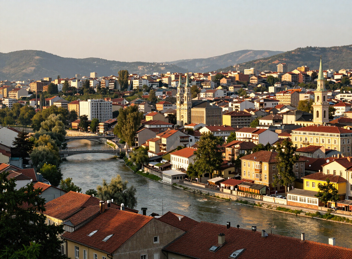
A Day in Sarajevo — History, Coffee and Hidden Corners
Read story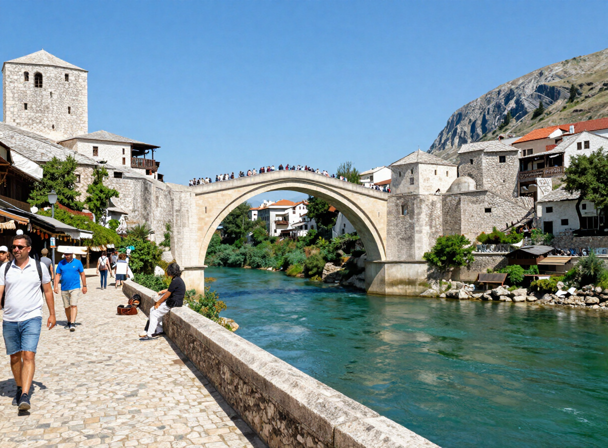
A Road Trip Through Herzegovina — Mostar, Blagaj, Počitelj and Stolac
Read story
Following the Una — From Bihać to Bosanska Krupa
Read story
Trebinje and Southern Herzegovina — Stone, Wine and Karst
Read story
Banja Luka and the Vrbas Canyon — A City Shaped by Water
Read story
Kozara National Park — Forest, Memory and Trails
Read storyTRAVEL GUIDES
Plan with a guide
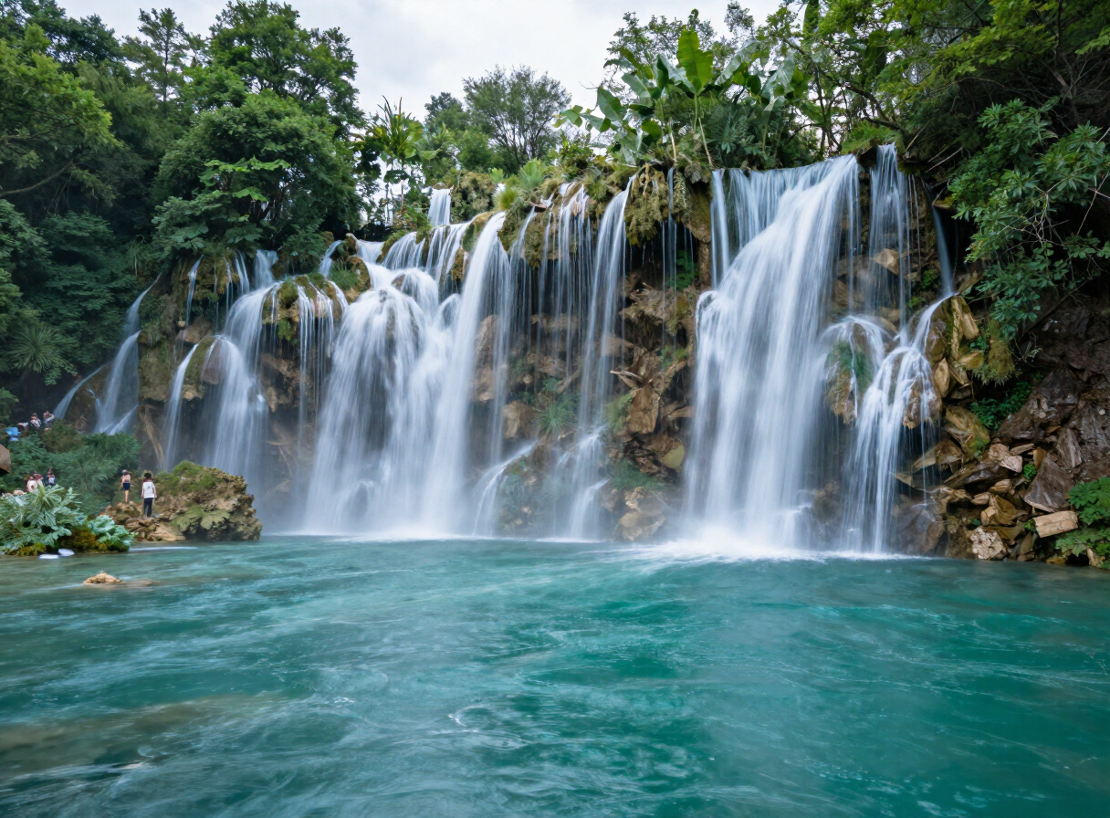
Why You Should Visit Una National Park
View guide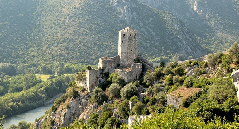
The Medieval Towns of Bosnia and Herzegovina
View guide
Maglić — The Summit of Bosnia and Herzegovina
View guide
Konjic and the Upper Neretva — Bridges, Bunkers and Wild Water
View guide
Livno, Cincar and the Wild Horses — A Responsible Highland Guide
View guide
Foča, Sutjeska and the Tara — An Outdoor Planning Guide
View guideExplore by interest
Every place in the atlas is tagged by what you can do there. Pick an interest and the destinations, experiences, routes and sights connected to it come into view — one reusable view, no matter the interest.