
EXPLORE BY INTEREST
Motorcycle
Motorcycle touring, twisty mountain roads and the ride-focused discovery of the atlas.
Explore by country
Where to do it
 11 destinations
United States
White Pass & Mount Adams · Salmon & Challis · Silver Valley & Wallace +8 more
 5 destinations
Bosnia & Herzegovina
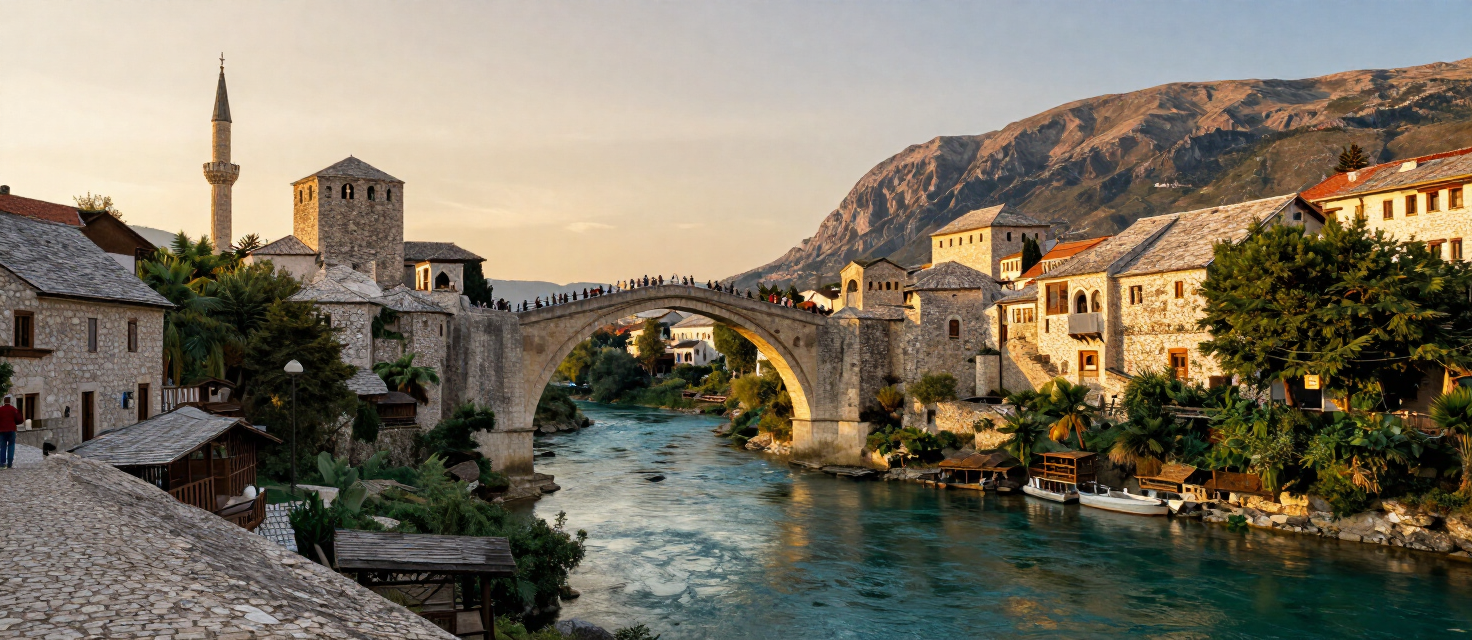
Mostar · Sarajevo · Jajce +2 more
 4 destinations
Croatia
Željava Air Base · Dubrovnik · Pelješac +1 more
 2 destinations
Montenegro
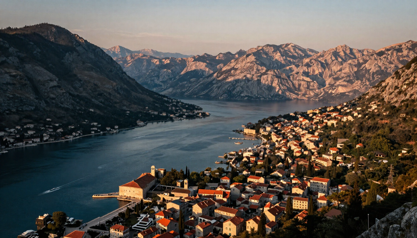
Tara Canyon & Đurđevića Tara · Plužine & Piva
 1 destination
Albania
Llogara
Destinations
Places for this interest


Experiences
Things to do
Ride the Plješevica & Una Roads
Željava has become a cult motorcycle stop: the approach roads over Plješevica and along the Una are among the best rides between Lika and Bosanska Krajina.
Željava Air Base
Motorcycle Ride: the Coastal Road and Konavle Loop
A rider’s half-day loop out of Dubrovnik — the D8 coastal road over the pass to Cavtat, the back lanes of the Konavle valley and the return over Gruda, mixing sea cliffs, switchbacks and empty valley roads.
Dubrovnik
Motorcycle Ride: the Length of Pelješac
Seventy kilometres of peninsula road from the bridge to Orebić — salt pans, wine country, the channel coast and the ferry view of Korčula in one ride.
Pelješac
Motorcycle Ride: The Konavle Loop and Adriatic Highway
A short, curvy coastal-plain loop from Cavtat over the Konavle valley and back along the Adriatic Highway (D8) — thirty to sixty kilometres of road built for two wheels.
Cavtat
Camping the Konavle Coast: the Molunat Auto Camps
Cavtat itself has no campsite — the region’s camping lives 20 km south in Molunat, a small fishing village at the tip of the Konavle coast, where simple auto camps sit right on the shore.
Cavtat
Combine Maglaj with nearby Doboj for a northern Bosnia fortress day
A two-fortress day in the Bosna valley — Maglaj’s Gradina and Doboj’s Gradina fortress, 25 km apart on the valley road, paired for a full northern Bosnia heritage day.
Maglaj
Ride the Tara Canyon Road to Crna Poda and Dobrilovina
A scenic ride along the Tara canyon road from the Đurđevića Tara Bridge downstream to the Crna Poda black-pine reserve and Dobrilovina Monastery — forest, gorge and valley read from the saddle, on narrow mountain roads with limited fuel and coverage.
Tara Canyon & Đurđevića Tara
Ride the Piva Canyon Road to Mratinje and Šćepan Polje
Ride the Piva canyon road from Plužine toward Mratinje and Šćepan Polje — the dramatic route cut into the rock and tunnelled through it, threading the gorge above the reservoir. A drive for patient, lawful riding in clear conditions, never for racing or roadside photo stops.
Plužine & Piva
Ride the Selkirk Loop to Creston & Back
Bonners Ferry & the Kootenai
Routes
Routes & rides
Mostar to Sarajevo via the Neretva Canyon
A classic Balkan ride north up the Neretva canyon — river, cliffs and forest from Mostar to Sarajevo.
130 km · 3 h · moderate
VIEW ROUTEKvarner Littoral Ride — Rijeka to Senj on the Adriatic Highway
The northern stretch of the Adriatic Highway along the Kvarner Gulf — Bakar terraces, the Crikvenica riviera and the raw Velebit approach to Senj.
73 km · 1.5 h · easy
VIEW ROUTEVelebit Coastline Ride — Senj to Zadar via Karlobag and the Vratnik Pass
The wildest stretch of the Adriatic Highway under the Velebit wall — Zavratnica, the Vratnik pass viewpoint, Karlobag and the long starlit run to Zadar.
147 km · 3 h · moderate
VIEW ROUTECentral Dalmatia Ride — Zadar to Split via Šibenik and Trogir
The classic Adriatic Highway run through Central Dalmatia — two UNESCO towns, the Šibenik channel, coastal bridges and the long seafront approach to Split.
169 km · 3.5 h · moderate
VIEW ROUTEBiokovo Coast Ride — Split to Ploče via Omiš and Makarska
The most spectacular Adriatic Highway section — the Cetina canyon at Omiš and a hundred kilometres under the Biokovo wall past the Makarska riviera.
151 km · 3.5 h · moderate
VIEW ROUTESouth Dalmatia Ride — Ploče to Dubrovnik via Ston and the Pelješac Bridge
The southern finale of the Adriatic Highway — the Neretva delta, the medieval Ston walls, the new Pelješac bridge and the grand approach to Dubrovnik.
107 km · 2.5 h · moderate
VIEW ROUTEIstrian Interior Ride — Motovun to Pula via Rovinj
A vineyard-and-hilltown loop through green Istria — the Motovun forest truffle roads, the Mirna valley, the Rovinj archipelago and the Roman arena finish in Pula.
89 km · 2.5 h · easy
VIEW ROUTEPelješac Peninsula Ride — Ston to Orebić
A wine-country crossing of the Pelješac peninsula — Dingač vineyard terraces above the sea, oyster bays at Mali Ston and the island views over to Korčula at Orebić.
57 km · 1.5 h · easy
VIEW ROUTEUna Canyon Scenic Road — Bihać to Bosanska Otoka
A scenic run down the M14 along the Una canyon from Bihać, via Ostrožac Castle and Bosanska Krupa, to the river-island village of Bosanska Otoka.
47 km · easy
VIEW ROUTEBosna Valley Ride — Doboj to Zavidovići via Maglaj
A touring ride down the Bosna valley through three Northern Bosnia river towns — Doboj, Maglaj and Zavidovići — with the R465 as the direct river-valley link between Maglaj and Zavidovići.
50 km
VIEW ROUTEBoračko Lake Ride — Sarajevo to Boračko Jezero via Konjic
A short Herzegovina escape: from Sarajevo over the Tarčin plateau to Konjic, then up the wooded Borač valley to the glacial green amphitheatre of Boračko jezero below Prenj.
82 km
VIEW ROUTEVrbas and Pliva Ride — Banja Luka to Travnik via Jajce
The northwest-to-centre classic: the Vrbas canyon south of Banja Luka, the Pliva lakes and waterfall at Jajce, and the rolling climb into Travnik across the mid-Bosnian highlands.
124 km
VIEW ROUTEUna Valley Ride — Bihać to Štrbački Buk via Martin Brod
A quiet northwest ride along the upper Una: from Bihać through the Una National Park to the Martin Brod meadows and the terraced falls of Štrbački buk near the Croatian border.
101 km
VIEW ROUTEVlašić Pass Climb — Travnik to the Vlašić Road
A short mountain climb from the vizier town of Travnik up the Vlašić massif road, trading the castle ridge for high meadows and the cool air of one of central Bosnia’s defining mountains.
19 km
VIEW ROUTEBlidinje Highland Road — Jablanica to Blidinje Lake
A high-plateau ride from the Neretva at Jablanica up to the Blidinje nature park: karst fields, the glacial Blidinje lake and the open Herzegovina mountain sky above Čvrsnica and Vran.
37 km
VIEW ROUTEVršič Pass — Kranjska Gora to Trenta
The Russian Road over the Vršič pass — fifty numbered serpentines from Kranjska Gora across the highest road pass in Slovenia and down into the Trenta valley.
26 km · moderate
VIEW ROUTESlovenian Coast — Koper to Piran via Portorož
A flexible one-day scenic drive along the short Slovenian coast from the working port of Koper through the resort of Portorož to the Venetian old town of Piran.
17 km · 1 days · Easy
VIEW ROUTELuxembourg Castle Valleys — Capital to Vianden via Guttland
A two-day road trip from Luxembourg City through the dispersed Valley of the Seven Castles in Guttland to the great castle of Vianden above the Our valley.
68 km · 2 h · 2 days · easy
VIEW ROUTEMullerthal to Moselle — Echternach to Schengen via Remich
A two-day scenic route from Echternach’s abbey town and the Mullerthal sandstone landscape down the Moselle valley to Remich and the European site of Schengen.
69 km · 2.3 h · 2 days · easy
VIEW ROUTEMinett Industrial Heritage — Esch to Fond-de-Gras via Belval and Ellergronn
A one-day industrial-heritage route through the Minett, from Esch-sur-Alzette’s city centre to the transformed Belval district, the Ellergronn nature reserve and the separate Fond-de-Gras heritage landscape.
28 km · 1.3 h · 1 days · moderate
VIEW ROUTEAndorra Valley Heritage — Sant Julià to Sorteny via the Capital
A two-day northbound road itinerary through Andorra’s principal valley system, linking Sant Julià de Lòria’s southern parish centre, Andorra la Vella’s historic government quarter, La Massana’s parish centre, Ordino’s historic centre and the protected mountain landscape of the Sorteny Valley.
27 km · 1.3 h · 2 days · easy
VIEW ROUTEEastern Andorra Mountain Road — Encamp to Grau Roig via Canillo
A full-day scenic mountain-road itinerary through Eastern Andorra, linking Encamp’s parish heritage, the Engolasters hydroelectric landscape, Canillo’s Romanesque heritage and viewpoints, the Incles Valley and the high Grau Roig and Pessons Cirque.
58 km · 2.9 h · 1 days · moderate
VIEW ROUTEKotor Serpentine Panorama — Old Town to Horizont Viewpoint
A careful scenic climb up the historic Kotor–Cetinje serpentine road from Kotor Old Town to the lower panorama point and the higher Horizont viewpoint, with widening views over the bay, Muo, Prčanj and the surrounding mountains.
17 km · 1 days · challenging
VIEW ROUTEBay of Kotor Heritage Circuit — Kotor, Perast, Herceg Novi and Luštica
A two-day heritage road-trip around the Bay of Kotor — from Kotor Old Town along the northern shore to Perast and Herceg Novi, then back through Tivat and onto the Luštica peninsula toward Rose.
23 km · 2 days · moderate
VIEW ROUTEBudva Riviera Scenic Road — Old Town to Buljarica
A careful one-day scenic run along Montenegro's central coast from Budva Old Town, via Pržno and the Sveti Stefan islet, the Reževići monastery and Petrovac's harbour, to the long beach and coastal plain of Buljarica.
21 km · 1 days · moderate
VIEW ROUTEPaštrovići Heritage Circuit — Budva, Praskvica, Reževići and Gradište
A realistic two-day heritage road-trip through the Paštrovići coast and its monastery landscape — Budva and the northern sites on Day 1, Reževići, Gradište and Buljarica on Day 2.
21 km · 2 days · moderate
VIEW ROUTEGrenada Heritage and Rainforest Road — St. George's to Levera
A two-day road-trip across Grenada from the Carenage in St. George's up into the Grand Étang rainforest, then north through Belmont Estate to Sauteurs, Leapers Hill and the protected Levera coast.
64 km · 2.3 h · 2 days · moderate
VIEW ROUTEDurmitor Ring and Piva Canyon — Žabljak to Plužine
A one-way scenic mountain traverse from Žabljak across the Jezerska plateau, Sedlo pass and Trsa to the Piva canyon and Plužine — the high-country half of the Durmitor Ring rather than the complete circuit.
49 km · 1 days · challenging
VIEW ROUTEThe Complete Durmitor Ring — Žabljak, Sedlo, Piva Canyon and Šavnik
The full circular drive around the Durmitor massif — from Žabljak over the Jezerska plateau and the Sedlo pass to Trsa and Plužine, along the Piva lake shore, then back east through Šavnik to close the loop.
187 km · 1 days · challenging
VIEW ROUTENorthern Montenegro Grand Tour — Kolašin, Tara, Durmitor and Piva
A three-day editorial touring sequence across Northern Montenegro — from Kolašin and Biogradska Gora to the Tara canyon and Đurđevića Tara Bridge, on to Žabljak and Durmitor, and finally over the Sedlo pass and Trsa to the Piva canyon and Plužine.
124 km · 3 days · challenging
VIEW ROUTEEastern Highlands Road — Kolašin to Plav and Gusinje
A two-day editorial touring sequence across Montenegro’s eastern highlands — from Kolašin and Biogradska Gora’s primeval forest, via the Andrijevica corridor, to Plav Lake, the multi-community town of Gusinje, the Ali Pasha Springs and the Grebaje Valley beneath the Karanfili peaks.
88 km · 2 days · challenging
VIEW ROUTEMahé Coastal Road — Victoria to Anse Intendance
A one-day coastal run from Victoria south past the Mission Lodge high ground, Anse Royale, Baie Lazare and Anse Takamaka to the granite shore of Anse Intendance.
1 days · moderate
VIEW ROUTECoulee Corridor Scenic Byway: Dam to Dry Falls
Fifty miles down the flood-carved Grand Coulee — from the biggest dam in America past Steamboat Rock to the Dry Falls overlook — the ice-age flood story told by one road.
85 km · 1.5 h · easy
VIEW ROUTESawtooth Scenic Byway Drive
From sagebrush desert to the glacial Sawtooth Valley: Idaho’s state byway ends beneath the rawest skyline in the Rockies.
240 km · 4 h · easy
VIEW ROUTEPonderosa Pine Scenic Byway: Boise to Sun Valley
The classic western approach: canyon, gold-rush town, hot-springs country and a glacial reveal over Banner Summit into the Stanley Basin.
250 km · 5 h · easy
VIEW ROUTESacajawea Historic Byway & Lemhi Pass Drive
From Salmon up the Lemhi Valley to the Continental Divide crossing where Lewis first saw the Bitterroots — history and emptiness combined.
120 km · 4 h · easy
VIEW ROUTELake Coeur d’Alene Scenic Byway Loop
A half-day drive around the lake’s wild east and south shores — eagles, wetlands and the Pacific Northwest’s oldest state park.
150 km · 3.5 h · easy
VIEW ROUTEPend Oreille Scenic Byway Loop via Garfield Bay
A half-day paved loop around the wild south half of Idaho’s biggest lake — cedars, the Pack River delta and fjord-like Garfield Bay.
95 km · 3 h · easy
VIEW ROUTEHighway 57: Priest River to Nordman
The road to the road’s end: timber town, golf flats, south-end wetlands, village docks and the Nordman store under the Selkirks.
34 km · 1.5 h · easy
VIEW ROUTEHells Canyon Scenic Byway: Riggins to the Overlook
The Seven Devils road: 80 miles from the Salmon to Idaho’s only drive-to rim view over the deepest gorge in North America.
130 km · 5 h · challenging
VIEW ROUTEThe St. Joe River Road: St. Maries to the Montana Line
Ninety paved miles up the “Shadowy St. Joe” — cedar canyon, fishing accesses, the 1910 fire country and the pavement’s end at Montana.
145 km · 4 h · easy
VIEW ROUTEInternational Selkirk Loop: Bonners Ferry to Creston, BC
The international leg of America’s only All-American international byway: refuge country, the Porthill crossing and the Kootenay valley to Creston’s orchards.
110 km · 3 h · easy
VIEW ROUTEMoyie River Canyon Run
A short, sweet canyon loop east of town: the overlook above the gorge, twin falls at high water, and the old trestle bridges.
30 km · 1.5 h · easy
VIEW ROUTENorthwest Passage Scenic Byway: Lewiston to Lolo Pass
Follow the Lewis and Clark trail up the Clearwater and Lochsa rivers — two hours of river canyon to the Montana line.
280 km · 5 h · easy
VIEW ROUTECamas Prairie & White Bird Battlefield Run
From the Lewiston Hill across the Camas Prairie’s wheat and lavender to the White Bird battlefield and the Salmon canyon.
130 km · 3 h · easy
VIEW ROUTEThe Expedition Loop: Canoe Camp, Weippe Prairie & Pierce
Seventy miles through the Lewis and Clark story: Canoe Camp on the byway, the camas prairie at Weippe, and Pierce’s gold-rush boardwalks.
110 km · 4 h · easy
VIEW ROUTEThe White Bird Grade & Salmon Canyon Run
From the prairie rim down 2,500 feet of switchbacks to the Salmon at White Bird, then the big-river canyon to Riggins.
95 km · 2.5 h · easy
VIEW ROUTEThe Seven Devils Rim Drive
Gravel mountain tracks from the prairie to the rim above Hells Canyon — the Seven Devils skyline a vertical mile over the river.
70 km · 3 h · moderate
VIEW ROUTEPeaks-to-Craters Scenic Byway
Sixty miles from Borah Peak’s alpine face across the Lost River valley into the black lava — Idaho’s strangest drive.
95 km · 2.5 h · easy
VIEW ROUTECity of Rocks Back Country Byway Loop
Thirty-two gravel miles through the granite basins — the reserve’s whole stone city by bike or car.
51 km · 4 h · moderate
VIEW ROUTEThe Teton Scenic Byway Loop
Seventy miles around the valley’s rim: the west Tetons from every angle, farm roads, and the Snake River bridges.
113 km · 3 h · easy
VIEW ROUTELogan Canyon to Bear Lake (US-89)
The prettiest 64 km in the region: a limestone river gorge, climbing walls and the summit reveal of the turquoise lake.
64 km · 2 h · easy
VIEW ROUTEThe Mont Blanc–Matterhorn ridge road — Courmayeur to Cervinia
The great Aosta valley driving road — from Courmayeur down the Dora and up the Valtournenche, with the Matterhorn closing the view.
95 km · 3 h · moderate
VIEW ROUTEThe Karst Panorama Road — Trieste to Duino over Opicina
The old Opicina road that climbs from Trieste to the karst plateau, then rides the escarpment edge past the Prosecco villages to Duino — the classic half-day ride above the Gulf.
34 km · 0.7 h · easy
VIEW ROUTEThe Fortress Loop — Aquileia to Palmanova to Cividale
A flat, fast loop that strings three UNESCO stars together: Roman Aquileia, Venice’s nine-pointed star fortress at Palmanova and Lombard Cividale over the Natisone gorge.
45 km · 0.9 h · easy
VIEW ROUTEThe Natisone Frontier Ride — Cividale to the Slovene valleys
A short, twisty ride up the Natisone valleys where Friuli meets Slovenia: the Devil’s Bridge below you, vineyard hamlets, and the frontier passes that made this Italy’s quietest borderland.
18 km · 0.5 h · easy
VIEW ROUTEThe Valcanale & Predil Pass Ride — Tarvisio to the border lake
Alpine riding at its easiest: the Valcanale floor from Tarvisio past the Lussari gondola and the Fusine lakes turn-off, then the climb to the Predil pass and the border lake under Cucco.
29 km · 0.6 h · easy
VIEW ROUTEThe Nockalmstraße — driving and hiking the Nockberge
Austria’s gentlest high road — 35 kilometres through the Nockberge biosphere’s soft granite domes, with the summit trails rising from its lay-bys.
35 km · 3 h · easy
VIEW ROUTEĐerdap Gorge Ride — Golubac to Kladovo on the Danube Highway
The Danube's great gorge ride — the Golubac fortress, the Kazan's vertical cliffs, the Miroč plateau and the Roman memory at Tekija, from Golubac to Kladovo on the river highway.
126 km · 3 h · moderate
VIEW ROUTEIbarska Magistrala Ride — Kraljevo to Novi Pazar via Studenica
Serbia's legendary Ibar highway — the river gorge from Kraljevo past the Maglić fortress, the Studenica detour, Raška and into Novi Pazar, the old Raška region's crossroads.
127 km · 3 h · moderate
VIEW ROUTEFruška Gora Loop — Novi Sad, the Monasteries and Sremski Karlovci
A gentle loop through Fruška Gora national park — Novi Sad, Sremski Karlovci's baroque square, the wine villages of Irig and the Krušedol monastery, on the 'Serbian Athos' ridge.
61 km · 1 h · easy
VIEW ROUTEŠumadija Royal Ride — Belgrade to Vrnjačka Banja via Topola
Šumadija's royal road — from Belgrade through the orchards of the Morava country to Oplenac, the Karađorđević mausoleum at Topola, Gornji Milanovac and the spa town of Vrnjačka Banja.
193 km · 3 h · easy
VIEW ROUTEZlatibor Ring Ride — Užice, Mokra Gora and Sirogojno
The Zlatibor highland loop — Užice's hydro dam country, the Šargan Eight at Mokra Gora, the Zlatibor plateau pastures and the open-air museum of Sirogojno, back over Zlatibor's beech ridges.
168 km · 4 h · moderate
VIEW ROUTETara Mountain Ride — Valjevo to Bajina Bašta and the Drina Viewpoints
The Drina ride — Valjevo's river country, Banja Koviljača's spa boulevards, Bajina Bašta and the Tara national park viewpoints over the green canyon of the Drina.
219 km · 4 h · moderate
VIEW ROUTEStara Planina Ride — Niš to Topli Do via Pirot
Eastern Serbia's frontier ride — Niš to Pirot, then the climb into Stara Planina, the Balkan range whose ridgelines watch Bulgaria, ending at Topli Do under the Midžor massif.
161 km · 4 h · moderate
VIEW ROUTEMetohija Ride — Peć to Prizren via Dečani and Đakovica
The Metohija monasteries ride — from the Patriarchate of Peć down the valley through Visoki Dečani and Đakovica to Klina and Prizren, the old town under the Šar Planina fortress.
145 km · 2 h · easy
VIEW ROUTEGreat St Bernard Pass Ride — Aosta to the Col du Grand St-Bernard
The ancient pass road from Aosta up the Great St Bernard valley to the 2,469 m col — Roman temple, hospice dogs and the border ridge above the Swiss valley.
37 km · 1.5 h · moderate
VIEW ROUTECourmayeur and Mont Blanc Ride — Aosta to the Skyway
The RW5 motorway-free alternative to Courmayeur: the Val Veny road under Mont Blanc's south face, the Spa town of Pré-Saint-Didier and the Skyway cable car at Courmayeur.
45 km · 1.2 h · easy
VIEW ROUTECervinia and the Matterhorn Ride — Aosta to Breuil
The Valtournenche climb from Aosta through Châtillon and Valtournenche to Breuil-Cervinia at 2,000 m — the Matterhorn's Italian face at the end of the valley road.
116 km · 2.5 h · moderate
VIEW ROUTEThe Aosta Castles Road — Fénis, Issogne and Bard
A half-day loop from Aosta through the valley's castle country: the towered Fénis, the painted halls of Issogne, and the fortress of Bard above the Dora gorge.
45 km · 1 h · easy
VIEW ROUTEThe Little St Bernard Pass Ride — Courmayeur to La Thuile and the Col
From Courmayeur up the La Thuile valley to the 2,188 m Little St Bernard col — the Roman road, the cycle-of-remembrance stone circle and the Lac de Verney on the French border ridge.
62 km · 1.2 h · moderate
VIEW ROUTEGran Paradiso and Cogne Ride — the National Park Valley
From the Dora valley at Pont-Saint-Martin up the narrow Cogne valley into Gran Paradiso national park — Italy's oldest national park, ibex country and the waterfall walk at the valley head.
65 km · 2 h · moderate
VIEW ROUTESan Marino Titano and Castelli Loop
A compact motorcycle loop from the foot of Monte Titano through Borgo Maggiore, the eastern castelli of Faetano and Serravalle and the border quarter of Dogana — the first ride around the world's oldest republic.
21 km · 1.3 h · easy
VIEW ROUTELuxembourg Éislek Castle Loop — Vianden, Esch-sur-Sûre, Bourscheid
A big Ardennes day-loop from Vianden along the Our and Sûre valleys through Esch-sur-Sûre and Bourscheid castle to Ettelbruck and back — the finest motorcycle miles of the Éislek.
84 km · 3 h · moderate
VIEW ROUTENorth Cascades Highway — Sedro-Woolley to Winthrop over Washington Pass
The Cascade peaks at their finest: SR-20 from the Skagit valley over Rainy and Washington passes to Winthrop — 206 km of dam lakes, switchbacks and 7,700-foot pass country.
206 km · 6 h · moderate
VIEW ROUTEMount Baker and Artist Point — Bellingham to the End of the Road
The highest public road in Washington: SR-542 climbs from Bellingham past Nooksack Falls to the ski area and ends at Artist Point under Mount Shuksan — 100 km round trip to a 5,200-foot cirque.
100 km · 3.8 h · moderate
VIEW ROUTERainier and the Passes — Ashford, Paradise, Chinook and White Pass Loop
The big south-Cascades day loop: Paradise at Mount Rainier, the 5,430-foot Chinook Pass under its iconic arch, a Columbia-basin run through Ellensburg and home over White Pass — 413 km of everything Washington rides for.
413 km · 10.9 h · moderate
VIEW ROUTEMount St. Helens Spirit Lake Memorial Highway — Castle Rock to Johnston Ridge
The ride into a volcano: 74 km round trip up the Spirit Lake Memorial Highway through the 1980 blast zone to the observatory facing the crater mouth — the strangest landscape riding in Washington.
74 km · 3.1 h · easy
VIEW ROUTECoulee Corridor — Grand Coulee Dam to Dry Falls
The ice-age flood highway: 59 km down the Grand Coulee past Banks Lake to Dry Falls — a 3.5-mile dry waterfall carved by Missoula floods — through basalt country like nowhere else.
59 km · 2 h · easy
VIEW ROUTEHurricane Ridge Climb — Port Angeles to the Ridge
The Olympic Peninsula’s sky ride: 12 km round trip climbing 5,000 feet from Port Angeles harbor to the Hurricane Ridge meadows, with the Olympic peaks and the Strait of Juan de Fuca in one view.
12 km · 0.7 h · moderate
VIEW ROUTEMountain Loop Highway — Granite Falls to Darrington
The locals’ secret: 105 km of narrow forest pavement past Big Four Mountain’s ice caves and ghost towns — a slow, shady, gorgeous old route linking the Stillaguamish to the North Cascades back door.
106 km · 1.2 h · moderate
VIEW ROUTEPonderosa Pine Scenic Byway — Boise to Lowman over the Summit
The Boise pole route: 121 km of gold-rush history and ponderosa forest from Boise over Mores Creek to the Boise National Forest’s summit country at Lowman — the classic half-day Idaho ride.
121 km · 3.5 h · moderate
VIEW ROUTESawtooth Loop — Stanley to Ketchum over Galena Summit
The postcard ride: 109 km from Stanley down the Sawtooth Valley past Redfish Lake, over 8,701-foot Galena Summit and down the Wood River to Ketchum — Idaho’s single greatest day ride.
109 km · 3.6 h · moderate
VIEW ROUTEPeaks to Craters — Ketchum to Challis via Mackay
Idaho’s empty middle: 183 km from Ketchum up the Lost River valley beneath 12,662-foot Borah Peak to Challis — high desert, big peaks and no traffic.
183 km · 4.9 h · easy
VIEW ROUTECraters of the Moon Loop — Arco to Mackay
A ride through two Idahos: 120 km from Arco — the first town powered by nuclear electricity — through the black lava fields of Craters of the Moon to Mackay beneath the Lost River wall.
120 km · 3.7 h · easy
VIEW ROUTEPayette River Scenic Byway — Boise to McCall
The whitewater highway: 176 km of Payette River canyon, the whitewater capital of the West, climbing through Cascade and Long Valley to McCall on Payette Lake.
176 km · 4.3 h · moderate
VIEW ROUTEHells Canyon Byway — Lewiston to New Meadows on US-95
The deepest gorge in North America from the ridge: 238 km of US-95 descending White Bird’s canyon grades, following the free-flowing Salmon through Riggins and climbing the Seven Devils country to New Meadows.
238 km · 5 h · moderate
VIEW ROUTENorthwest Passage Scenic Byway — Lewiston to Lolo Pass
The Lewis and Clark highway: 288 km of US-12 following the Clearwater and Lochsa rivers through the largest roadless wild country in the lower states to Lolo Pass on the Montana line.
288 km · 6.2 h · moderate
VIEW ROUTESilver Valley and St. Joe Loop — Coeur d’Alene to Saint Maries
Mining history and cedar river country: 174 km from Coeur d’Alene up the Silver Valley through Wallace — the richest silver district on earth — then down the wild St. Joe River to Saint Maries.
174 km · 3.8 h · easy
VIEW ROUTETeton Valley and Palisades Loop — Victor to Alpine
The hidden Tetons ride: 88 km from Victor through Driggs beneath the range’s wild west face, then the Snake River country through Swan Valley and Palisades Reservoir to Alpine, Wyoming.
88 km · 3.2 h · easy
VIEW ROUTEPend Oreille Countryside Loop: Sandpoint to Farragut via the Lake Shore
The lake-side warm-up: 99 km from Sandpoint down the shore of Lake Pend Oreille to Farragut's wartime peninsula and back through the quiet farm country of the Countryside Byway.
99 km · 3.7 h · moderate
VIEW ROUTEPriest Lake Loop: Priest River to the Upper Lake via the Cavanaugh Drove
The Selkirk deep dive: 136 km from Priest River up the river gorge to Priest Lake's Lion Head shoreline and back — the quietest big-lake ride in Idaho.
136 km · 6.6 h · moderate
VIEW ROUTECity of Rocks Backcountry Byway: Oakley to Almo via the Basin
The granite detour: 48 km from Oakley across the basin to City of Rocks National Reserve — short, empty and unlike anywhere else in Idaho.
48 km · 3.2 h · moderate
VIEW ROUTEBear Lake Loop: Paris to Montpelier via the Oregon Trail Shore
The turquoise circuit: 92 km around the Caribbean of the Rockies — Paris canyon, Bloomington flats, the Oregon Trail shore and Emigration Summit.
92 km · 4.5 h · moderate
VIEW ROUTEChuckanut Drive: Bellingham to Bow on SR-11
Washington’s classic coastal cruise: 31 km of cliff-hugging SR-11 between Bellingham’s Fairhaven village and the farm flats of Bow and Edison — Salish Sea on one side, forest on the other.
31 km · 1.2 h · moderate
VIEW ROUTEStevens Pass on US-2: Skykomish to Leavenworth
The Cascade crossing on US-2: 83 km from Skykomish’s rail yards over the 1,238-metre summit and down Tumwater Canyon into Bavarian Leavenworth.
83 km · 2.7 h · moderate
VIEW ROUTEYakima River Canyon on SR-821: Selah to Ellensburg
The quiet detour the interstate skips: 56 km of SR-821 following the Yakima River through basalt canyon walls, sage benches and the Roza reach — Washington’s first scenic byway.
56 km · 2.8 h · moderate
VIEW ROUTEPalouse Scenic Byway Loop: Colfax, Palouse and Steptoe Butte
The loess-hills grand tour: 116 km of farm-road loop from Colfax through the town of Palouse, up 1,011-metre Steptoe Butte and home via Oakesdale’s grain elevator skyline.
116 km · 5.5 h · moderate
VIEW ROUTEWhidbey Island Loop: Oak Harbor to Clinton via Deception Pass
The island ride: 97 km down Whidbey from the Deception Pass bridge through Ebey’s Landing prairie, Coupeville’s waterfront and the ferry meadow at Clinton.
97 km · 4 h · moderate
VIEW ROUTEOlympic Peninsula Grand Loop on US-101 (Two-Day Ride)
Washington’s big one: 500 km of US-101 ringing the Olympic Peninsula — Hood Canal, the rainforest coast, Kalaloch’s bluffs and the Straits — best ridden over two days.
500 km · 18.8 h · moderate
VIEW ROUTEAttractions
Sights worth the detour
Hells Canyon Overlook
Hells Canyon & the Salmon River
The Lewiston Hill Overlook
Lewiston & Clarkston
Camas Prairie Railroad trestles
Grangeville & the Camas Prairie
Seven Devils Overlooks
Grangeville & the Camas Prairie
Evel Knievel’s Launch Ramp
Twin Falls & the Snake River Canyon
Mesa Falls & the Ashton to Island Park back road
Island Park & Mesa Falls
Teton Pass & the 1976 Teton Dam story
Teton Valley
On the atlas
Motorcycle
STORIES
From the magazine
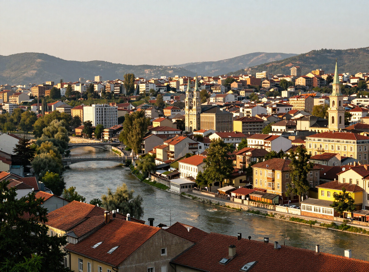
A Day in Sarajevo — History, Coffee and Hidden Corners
Read story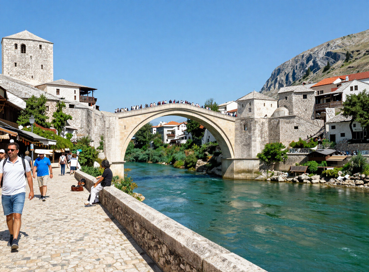
A Road Trip Through Herzegovina — Mostar, Blagaj, Počitelj and Stolac
Read story
Following the Una — From Bihać to Bosanska Krupa
Read story
Jajce — Between the Waterfall, Fortress and Pliva Lakes
Read story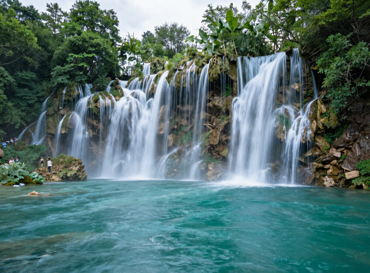
Explore by interest
Every place in the atlas is tagged by what you can do there. Pick an interest and the destinations, experiences, routes and sights connected to it come into view — one reusable view, no matter the interest.